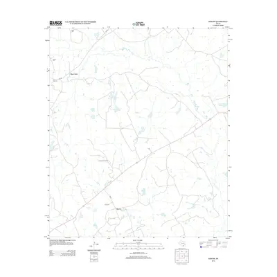
2013 Map of Keechi
USGS Topo · Published 2013About this map
Oakwood Dome Oil Field dominates the central landscape of this Freestone County region, indicating the sub-surface mineral activity that has long shaped the local economy. The terrain is defined by a network of small water bodies and creeks, most notably the namesake Plum Creek and a series of privately named reservoirs like J S C Pickins Lake and T B Pickens Lake. These features, alongside Connolly Lake and Bess Lake, reflect a landscape managed for cattle ranching and resource extraction.
Find a feature on this map
18 named features on this map. Tap any name to fly to it.
Don’t see what you’re looking for? This feature index may not catch every label — zoom into the map to look around manually.
Map Details
Editions of this 2013 Keechi Map
This is the sole edition of this map. No revisions or reprints were ever made.
Other maps of this area

1919 · Fairfield
USGS Topo · 1:62,500

1953 · Palestine
USGS Topo · 1:250,000

1954 · Waco
USGS Topo · 1:250,000

1955 · Waco
USGS Topo · 1:250,000

1956 · Jewett
USGS Topo · 1:62,500

1957 · Palestine
USGS Topo · 1:250,000

1964 · Long Lake
USGS Topo · 1:24,000

1964 · Oakwood
USGS Topo · 1:24,000

1964 · Flo
USGS Topo · 1:24,000

1964 · Keechi
USGS Topo · 1:24,000