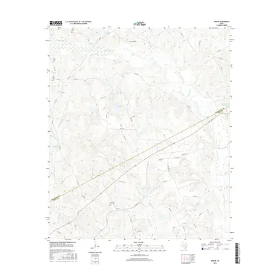
2016 Map of Keechi
USGS Topo · Published 2016About this map
Keechi is the central settlement in this eastern Texas landscape, situated near the boundary where Freestone and Leon Counties meet. The area is defined by a dense network of watercourses and small lakes, including the winding Upper Keechi Cr and Keechi Lake. The terrain is marked by significant hydrological features like Alligator Creek, Bess Lake, and Lipsey Lake Number 2, which suggest a wetland environment common to the region's river basins.
Find a feature on this map
62 named features on this map. Tap any name to fly to it.
Don’t see what you’re looking for? This feature index may not catch every label — zoom into the map to look around manually.
Map Details
Editions of this 2016 Keechi Map
This is the sole edition of this map. No revisions or reprints were ever made.
Other maps of this area

1919 · Fairfield
USGS Topo · 1:62,500

1953 · Palestine
USGS Topo · 1:250,000

1954 · Waco
USGS Topo · 1:250,000

1955 · Waco
USGS Topo · 1:250,000

1956 · Jewett
USGS Topo · 1:62,500

1957 · Palestine
USGS Topo · 1:250,000

1964 · Long Lake
USGS Topo · 1:24,000

1964 · Oakwood
USGS Topo · 1:24,000

1964 · Flo
USGS Topo · 1:24,000

1964 · Keechi
USGS Topo · 1:24,000