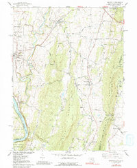
1978 Map of Keedysville
USGS Topo · Published 1991About this map
Antietam Creek winds through this landscape of the Maryland-West Virginia border, framing a region defined by its Civil War heritage and rural settlement patterns. Near Sharpsburg, the map details the grounds of the Antietam Nat Cem and several monuments, including the Philadelphia Brigade Monument and the New York State Monument Visitor Center. The terrain transitions from the fertile valley floor to the prominent ridgelines of South Mountain and Elk Ridge, where the Appalachian Trail follows the crest.
Find a feature on this map
80 named features on this map. Tap any name to fly to it.
Don’t see what you’re looking for? This feature index may not catch every label — zoom into the map to look around manually.
Map Details
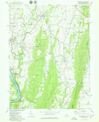
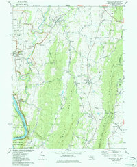
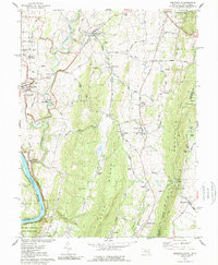
Editions of this 1978 Keedysville Map
4 editions found
Other maps of this area

1884 · Harpers Ferry
USGS Topo · 1:125,000

1891 · Harpers Ferry
USGS Topo · 1:125,000

1893 · Harpers Ferry
USGS Topo · 1:125,000

1908 · Middletown
USGS Topo · 1:48,000

1909 · Hagerstown
USGS Topo · 1:48,000

1910 · Antietam
USGS Topo · 1:62,500

1912 · Hagerstown
USGS Topo · 1:62,500

1912 · Williamsport
USGS Topo · 1:62,500

1914 · Martinsburg
USGS Topo · 1:48,000

1916 · Martinsburg
USGS Topo · 1:62,500