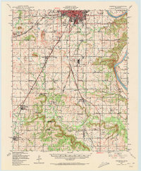
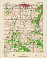
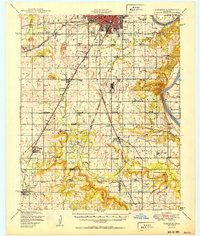
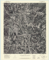
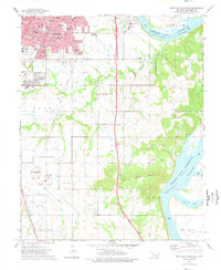
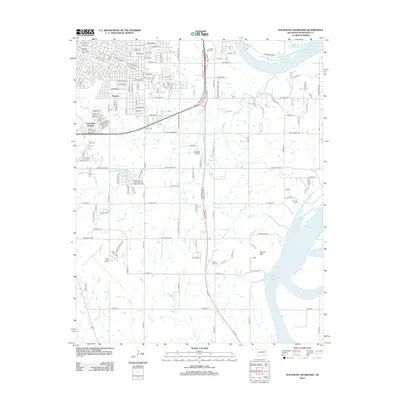
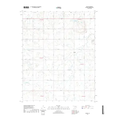
1948 Map of Keefeton
USGS Topo · Published 1972About this map
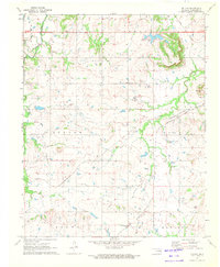
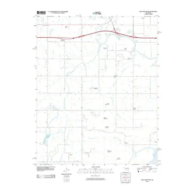
The Arkansas River serves as the dominant natural boundary in this late 1940s landscape, winding past the rugged terrain of Brushy Mtn and feeding into a complex system of local drainages like Dirty Creek and Spaniard Creek. The region is defined by its dense network of rural infrastructure, featuring a high concentration of country schools such as Sally Brown Sch, Lone Star Sch, and Sequoyah Sch. These schools, paired with numerous churches like Crekola Ch and Trinity Ch, reflect a deeply settled agricultural community.
Find a feature on this map
75 named features on this map. Tap any name to fly to it.
Don’t see what you’re looking for? This feature index may not catch every label — zoom into the map to look around manually.
Map Details
Editions of this 1948 Keefeton Map
2 editions found
Historical Maps of Muskogee Through Time
45 maps found

1905 Muscogee
Muskogee County, OK
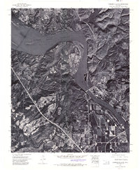
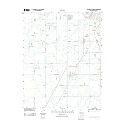
1948 Keefeton
Muskogee County, OK
1950 Keefeton
Muskogee County, OK
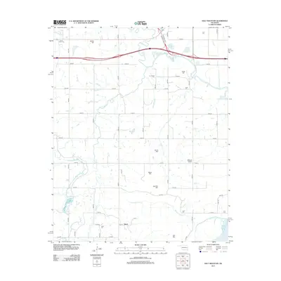
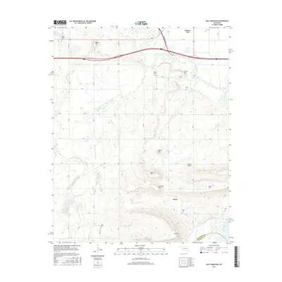
1963 Holt Mountain
Muskogee County, OK
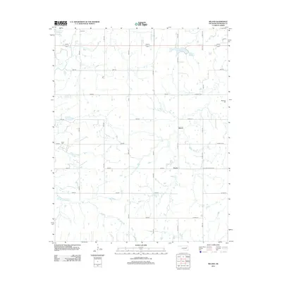
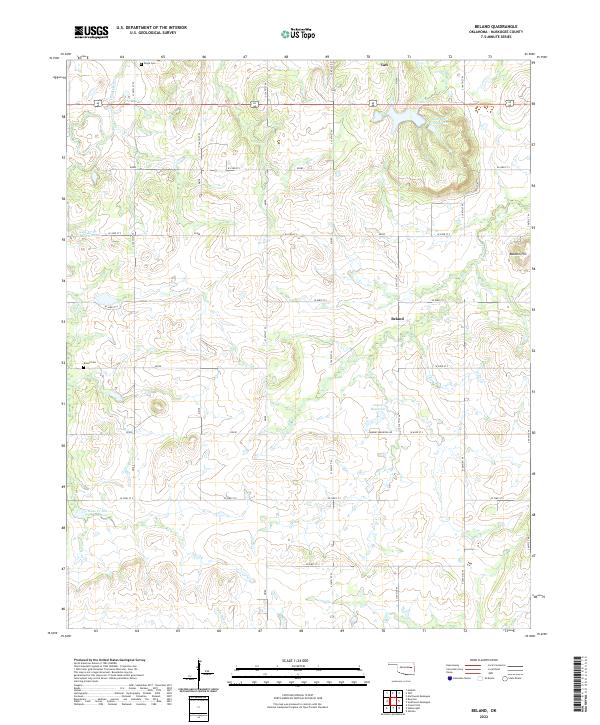
1971 Beland
Muskogee County, OK
1972 Hulbert SW
Muskogee County, OK

1972 Keefeton NE
Muskogee County, OK
1972 Keefeton SE
Muskogee County, OK
1972 Keefeton SW
Muskogee County, OK
1972 Wagoner SE
Muskogee County, OK
1972 Webbers Falls SW
Muskogee County, OK
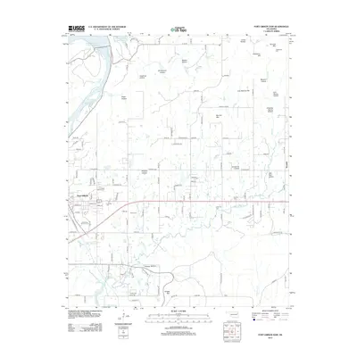
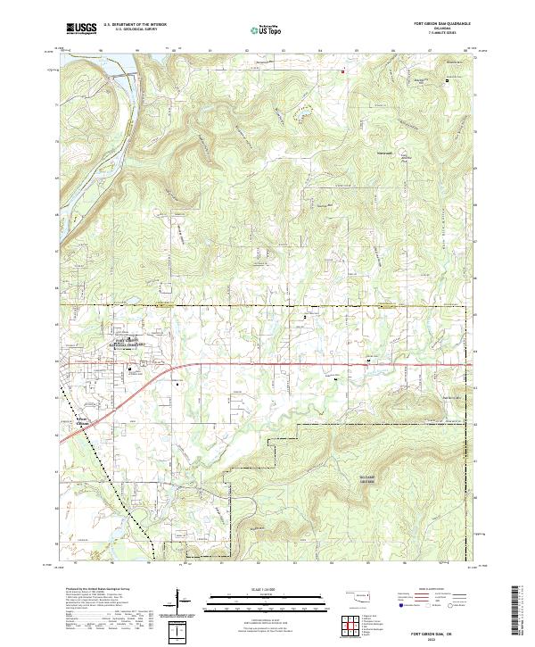
1974 Fort Gibson Dam
Muskogee County, OK
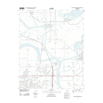
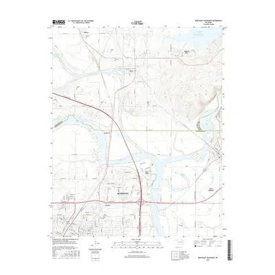
1974 Northeast Muskogee
Muskogee County, OK
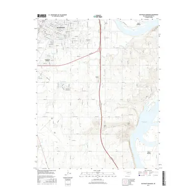
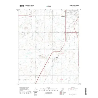
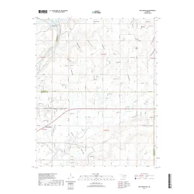
1974 Southeast Muskogee
Muskogee County, OK
1974 Southwest Muskogee
Muskogee County, OK
2010 Beland
Muskogee County, OK
2010 Fort Gibson Dam
Muskogee County, OK
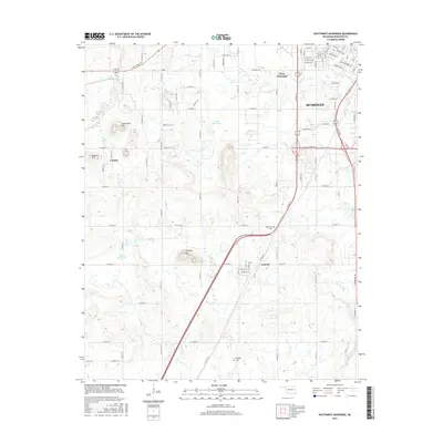
2010 Holt Mountain
Muskogee County, OK
2010 Northeast Muskogee
Muskogee County, OK
2010 Southeast Muskogee
Muskogee County, OK
2010 Southwest Muskogee
Muskogee County, OK
2012 Beland
Muskogee County, OK
2012 Fort Gibson Dam
Muskogee County, OK
2012 Holt Mountain
Muskogee County, OK
2012 Northeast Muskogee
Muskogee County, OK
2012 Southeast Muskogee
Muskogee County, OK
2012 Southwest Muskogee
Muskogee County, OK
2016 Beland
Muskogee County, OK
2016 Fort Gibson Dam
Muskogee County, OK
2016 Holt Mountain
Muskogee County, OK
2016 Northeast Muskogee
Muskogee County, OK
2016 Southeast Muskogee
Muskogee County, OK
2016 Southwest Muskogee
Muskogee County, OK
2018 Beland
Muskogee County, OK
2018 Holt Mountain
Muskogee County, OK
2018 Northeast Muskogee
Muskogee County, OK
2018 Southeast Muskogee
Muskogee County, OK
2018 Southwest Muskogee
Muskogee County, OK
2019 Fort Gibson Dam
Muskogee County, OK
2022 Beland
Muskogee County, OK
2022 Fort Gibson Dam
Muskogee County, OK
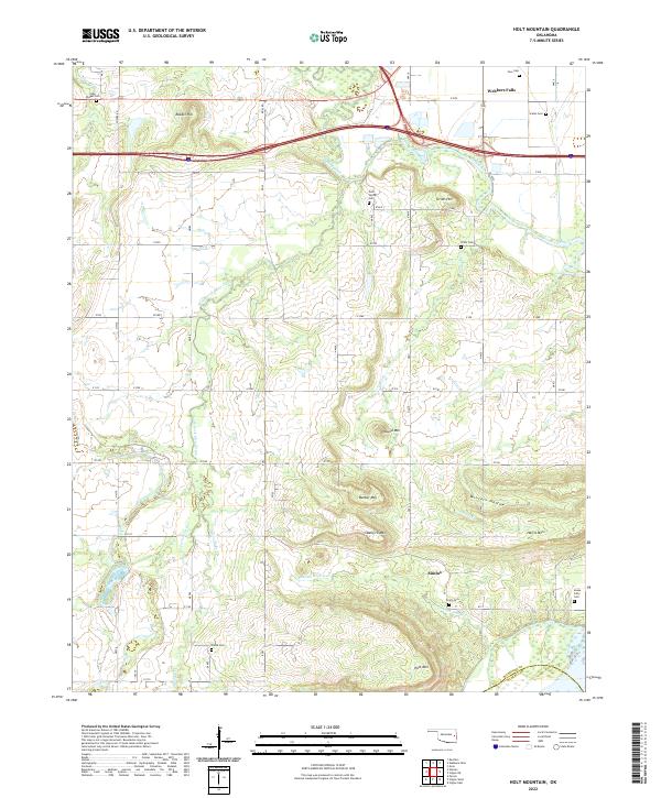
2022 Holt Mountain
Muskogee County, OK
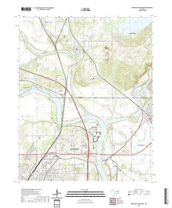
2022 Northeast Muskogee
Muskogee County, OK
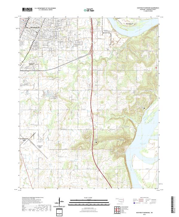
2022 Southeast Muskogee
Muskogee County, OK
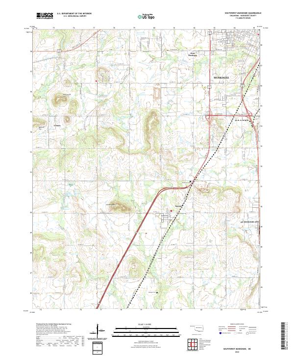
2022 Southwest Muskogee
Muskogee County, OK