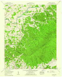
1960 Map of Keenburg
USGS Topo · Published 1962About this map
Boone Lake and the winding Holston River dominate the northern landscape of this Sullivan and Carter County region at the start of the 1960s. The area displays a mix of agricultural valley settlements like Keenburg and Silver Grove alongside the heavily wooded ridges of the Cherokee National Forest. Local social and infrastructure centers are well-documented, from the Tri-City Speedway near Walnut Grove to educational landmarks like Unaka High Sch. Genealogists will find a high density of family burial grounds, including McKinney Cem, Crockett Cem, and Ellis Cem. The presence of Underwood Spring indicates the critical role of local hydrology for nearby municipal needs. Significant terrain features like Grandfather Knob and Morrell Cave define the eastern interior, while the South Fork National Pike provides a glimpse into the era's primary transportation corridor through the valley.
Find a feature on this map
88 named features on this map. Tap any name to fly to it.
Don’t see what you’re looking for? This feature index may not catch every label — zoom into the map to look around manually.
Map Details
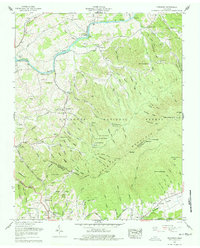
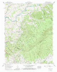
Editions of this 1960 Keenburg Map
3 editions found
Other maps of this area

1891 · Roan Mountain
USGS Topo · 1:125,000

1894 · Roan Mountain
USGS Topo · 1:125,000

1897 · Bristol
USGS Topo · 1:125,000

1902 · Bristol
USGS Topo · 1:125,000

1904 · Roan Mountain
USGS Topo · 1:125,000

1934 · Holston Valley
USGS Topo · 1:24,000

1934 · Bristol
USGS Topo · 1:24,000

1935 · Watauga Valley
USGS Topo · 1:48,000

1935 · Blountville
USGS Topo · 1:24,000
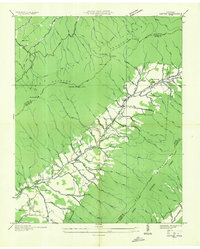
1935 · Carter
USGS Topo · 1:24,000