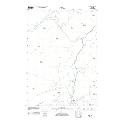
2010 Map of Keene
USGS Topo · Published 2010About this map
The East Branch Ausable River and West Branch Ausable River dominate this Adirondack landscape, carving through a terrain of high peaks and river valleys. The settlements of Upper Jay and Keene serve as the primary human anchors, connected by a network of winding roads like State Hwy 86 Scn and State Hwy 73 Scn. The presence of Mountain View Cemetery and Ingalls Cemetery provides significant points of interest for those researching local family histories in this corner of Essex County.
Find a feature on this map
67 named features on this map. Tap any name to fly to it.
Don’t see what you’re looking for? This feature index may not catch every label — zoom into the map to look around manually.
Map Details
Editions of this 2010 Keene Map
This is the sole edition of this map. No revisions or reprints were ever made.
Other maps of this area

1894 · Elizabethtown
USGS Topo · 1:62,500

1895 · Elizabethtown
USGS Topo · 1:62,500

1895 · Mt. Marcy
USGS Topo · 1:62,500

1895 · Ausable
USGS Topo · 1:62,500

1896 · Lake Placid
USGS Topo · 1:62,500

1898 · Lake Placid
USGS Topo · 1:62,500

1901 · Elizabethtown
USGS Topo · 1:62,500

1902 · Mt. Marcy
USGS Topo · 1:62,500

1903 · Ausable
USGS Topo · 1:62,500

1950 · Lake Champlain
USGS Topo · 1:250,000