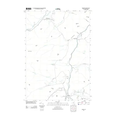
2013 Map of Keene
USGS Topo · Published 2013About this map
Upper Jay and Keene anchor this Adirondack landscape where the East and West branches of the Ausable River carve through the high peaks. The topography is dominated by the Sentinel Range to the west and a series of prominent summits including Owls Head Mtn and Stewart Mtn. This document captures the modern road network, from established routes like Springfield Rd to family-named lanes such as Trumbulls Rd and Gilmore Hill Rd.
Find a feature on this map
77 named features on this map. Tap any name to fly to it.
Don’t see what you’re looking for? This feature index may not catch every label — zoom into the map to look around manually.
Map Details
Editions of this 2013 Keene Map
This is the sole edition of this map. No revisions or reprints were ever made.
Other maps of this area

1894 · Elizabethtown
USGS Topo · 1:62,500

1895 · Elizabethtown
USGS Topo · 1:62,500

1895 · Mt. Marcy
USGS Topo · 1:62,500

1895 · Ausable
USGS Topo · 1:62,500

1896 · Lake Placid
USGS Topo · 1:62,500

1898 · Lake Placid
USGS Topo · 1:62,500

1901 · Elizabethtown
USGS Topo · 1:62,500

1902 · Mt. Marcy
USGS Topo · 1:62,500

1903 · Ausable
USGS Topo · 1:62,500

1950 · Lake Champlain
USGS Topo · 1:250,000