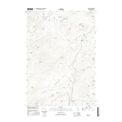
2016 Map of Keene
USGS Topo · Published 2016About this map
The West Branch Ausable River and East Branch Ausable River converge to define the drainage patterns of this mountain-locked landscape, which is marked by high-elevation peaks and active waterway falls. The community of Wilmington sits in the northern reaches, while Keene and Upper Jay occupy the valleys between the Sentinel Range and the eastern heights. This modern survey illustrates the proximity of the Adirondack Park Preserve to settled areas, with local landmarks such as The Flume Fall and High Falls serving as notable geographic anchors. Genealogists and historians will find interest in the documented cemetery locations including Mountain View Cem and Ingalls Cem, alongside a network of local roads such as Alstead Hill Rd and Styles Brook Rd that connect the scattered settlements of East Hill and the valley floors.
Find a feature on this map
88 named features on this map. Tap any name to fly to it.
Don’t see what you’re looking for? This feature index may not catch every label — zoom into the map to look around manually.
Map Details
Editions of this 2016 Keene Map
This is the sole edition of this map. No revisions or reprints were ever made.
Other maps of this area

1894 · Elizabethtown
USGS Topo · 1:62,500

1895 · Elizabethtown
USGS Topo · 1:62,500

1895 · Mt. Marcy
USGS Topo · 1:62,500

1895 · Ausable
USGS Topo · 1:62,500

1896 · Lake Placid
USGS Topo · 1:62,500

1898 · Lake Placid
USGS Topo · 1:62,500

1901 · Elizabethtown
USGS Topo · 1:62,500

1902 · Mt. Marcy
USGS Topo · 1:62,500

1903 · Ausable
USGS Topo · 1:62,500

1950 · Lake Champlain
USGS Topo · 1:250,000