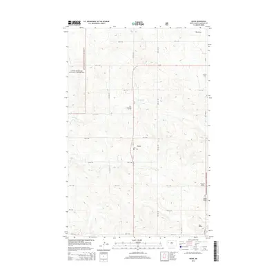
2014 Map of Keene
USGS Topo · Published 2014About this map
Keene and Hawkeye anchor this 2014 survey of the North Dakota badlands, a landscape defined by its energy production and public lands. The region's industrial footprint is clearly marked by the Clear Creek Oil and Gas Field and the Blue Buttes Oil and Gas Field, indicating the intensive natural resource extraction central to the local economy. These sites sit amidst the expansive Little Missouri National Grassland, where the terrain rises toward prominent elevations like Stony Butte and the Blue Buttes.
Find a feature on this map
24 named features on this map. Tap any name to fly to it.
Don’t see what you’re looking for? This feature index may not catch every label — zoom into the map to look around manually.
Map Details
Editions of this 2014 Keene Map
This is the sole edition of this map. No revisions or reprints were ever made.
Other maps of this area

1911 · Ray
USGS Topo · 1:125,000

1953 · Williston
USGS Topo · 1:250,000

1953 · Watford City
USGS Topo · 1:250,000

1957 · Williston
USGS Topo · 1:250,000

1957 · Watford City
USGS Topo · 1:250,000

1965 · Keene
USGS Topo · 1:24,000

1965 · Johnsons Corner
USGS Topo · 1:24,000

1965 · Charlson
USGS Topo · 1:24,000

1965 · Blue Buttes
USGS Topo · 1:24,000

1965 · Charlson SW
USGS Topo · 1:24,000