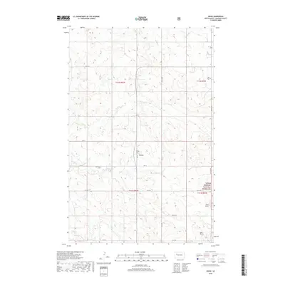
2018 Map of Keene
USGS Topo · Published 2018About this map
Keene sits at the heart of this McKenzie County landscape, where the agricultural grid of North Dakota meets the rising elevations of the Missouri Plateau. The settlement serves as a focal point for a network of section roads including Main St, 35th St, and Co Rte 55. To the southeast, the terrain shifts significantly as it enters the Little Missouri National Grassland, characterized by the prominent rises of Stony Butte and the Blue Buttes. Water resources are defined by the winding paths of Clear Cr and its northern branch, N Br Clear Cr, which carve through the plains. For those tracing local history, the map preserves the locations of the West Prairie Cem and Clear Creek Cem, marking the heritage of the early families who settled these sections.
Find a feature on this map
27 named features on this map. Tap any name to fly to it.
Don’t see what you’re looking for? This feature index may not catch every label — zoom into the map to look around manually.
Map Details
Editions of this 2018 Keene Map
This is the sole edition of this map. No revisions or reprints were ever made.
Other maps of this area

1911 · Ray
USGS Topo · 1:125,000

1953 · Williston
USGS Topo · 1:250,000

1953 · Watford City
USGS Topo · 1:250,000

1957 · Williston
USGS Topo · 1:250,000

1957 · Watford City
USGS Topo · 1:250,000

1965 · Keene
USGS Topo · 1:24,000

1965 · Johnsons Corner
USGS Topo · 1:24,000

1965 · Charlson
USGS Topo · 1:24,000

1965 · Blue Buttes
USGS Topo · 1:24,000

1965 · Charlson SW
USGS Topo · 1:24,000