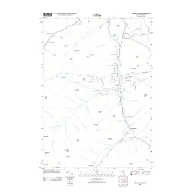
2013 Map of Keene Valley
USGS Topo · Published 2013About this map
Keene Valley and Saint Huberts occupy the central valley of the E Br Ausable River, surrounded by some of the most significant peaks in the Adirondacks. The settlement pattern follows the river, with Marcy Field Airport and Johns Brook Bridge serving as local landmarks. The high peaks of the Cascade Range dominate the western edge, including Gothics, Armstrong Mtn, and Saddleback Mtn.
Find a feature on this map
117 named features on this map. Tap any name to fly to it.
Don’t see what you’re looking for? This feature index may not catch every label — zoom into the map to look around manually.
Map Details
Editions of this 2013 Keene Valley Map
This is the sole edition of this map. No revisions or reprints were ever made.
Other maps of this area

1894 · Elizabethtown
USGS Topo · 1:62,500

1895 · Elizabethtown
USGS Topo · 1:62,500

1895 · Mt. Marcy
USGS Topo · 1:62,500

1895 · Ausable
USGS Topo · 1:62,500

1896 · Lake Placid
USGS Topo · 1:62,500

1898 · Lake Placid
USGS Topo · 1:62,500

1901 · Elizabethtown
USGS Topo · 1:62,500

1902 · Mt. Marcy
USGS Topo · 1:62,500

1903 · Ausable
USGS Topo · 1:62,500

1950 · Lake Champlain
USGS Topo · 1:250,000