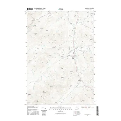
2016 Map of Keene Valley
USGS Topo · Published 2016About this map
Keene Valley and Saint Huberts occupy the floor of a dramatic mountain corridor where the East Branch Ausable River is joined by numerous high-altitude tributaries. This 2016 survey highlights the relationship between the valley floor settlements and the surrounding High Peaks wilderness. To the west, the Cascade Range towers over Lower Cascade Lake and Upper Cascade Lake, while the interior is defined by deep basins like Walton Basin and Hull Basin. Local history is anchored by family-named plots including Norton Cem and Estes Cem, alongside civic landmarks like Marcy Field. The map meticulously details the network of trails and access roads such as Porter Mountain Trl and Lake Rd, providing a clear picture of how this protected landscape is navigated and managed within the Adirondack Park Preserve.
Find a feature on this map
120 named features on this map. Tap any name to fly to it.
Don’t see what you’re looking for? This feature index may not catch every label — zoom into the map to look around manually.
Map Details
Editions of this 2016 Keene Valley Map
This is the sole edition of this map. No revisions or reprints were ever made.
Other maps of this area

1894 · Elizabethtown
USGS Topo · 1:62,500

1895 · Elizabethtown
USGS Topo · 1:62,500

1895 · Mt. Marcy
USGS Topo · 1:62,500

1895 · Ausable
USGS Topo · 1:62,500

1896 · Lake Placid
USGS Topo · 1:62,500

1898 · Lake Placid
USGS Topo · 1:62,500

1901 · Elizabethtown
USGS Topo · 1:62,500

1902 · Mt. Marcy
USGS Topo · 1:62,500

1903 · Ausable
USGS Topo · 1:62,500

1950 · Lake Champlain
USGS Topo · 1:250,000