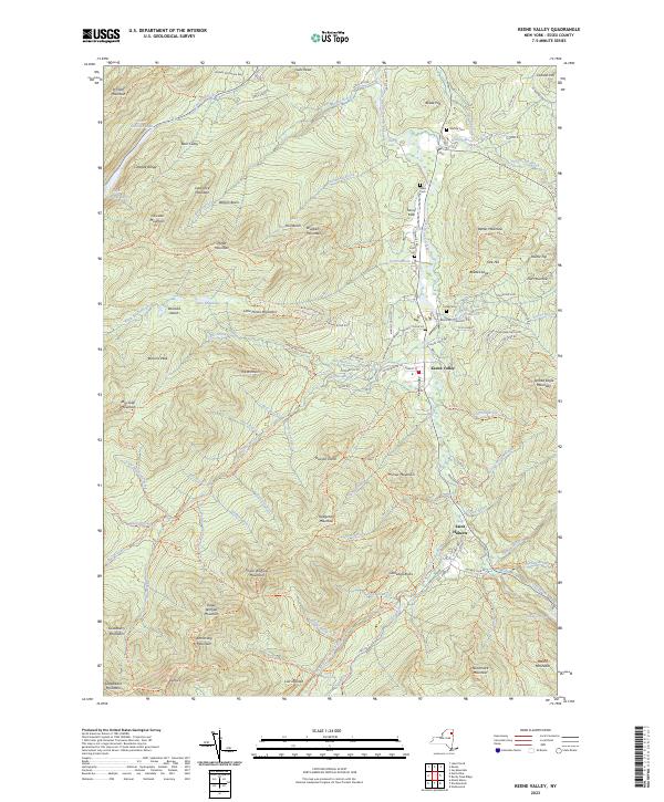
2023 Map of Keene Valley
USGS Topo · Published 2023About this map
Keene Valley and the hamlet of Saint Huberts occupy the central drainage of the East Branch Ausable River, a landscape defined by the sheer verticality of the surrounding High Peaks. This modern topographic record reveals a complex network of established pathways, including the Pitchoff Mountain Trl and Baxter Mountain Trl, which connect the valley floor to summits like Cascade Mountain and Big Slide Mountain. Local genealogy is anchored by several historic burial grounds, such as Norton Cem and Estes Cem, located near the river and Marcy Field. The map meticulously details the intersection of early settlement roads and the protected wilderness of the Adirondack Park Preserve, tracing water features from Lower Cascade Lake in the north to the waterfalls of Beaver Meadows Falls and Artist Falls in the south.
Find a feature on this map
146 named features on this map. Tap any name to fly to it.
Don’t see what you’re looking for? This feature index may not catch every label — zoom into the map to look around manually.
Map Details
Editions of this 2023 Keene Valley Map
This is the sole edition of this map. No revisions or reprints were ever made.
Other maps of this area

1894 · Elizabethtown
USGS Topo · 1:62,500

1895 · Elizabethtown
USGS Topo · 1:62,500

1895 · Mt. Marcy
USGS Topo · 1:62,500

1895 · Ausable
USGS Topo · 1:62,500

1896 · Lake Placid
USGS Topo · 1:62,500

1898 · Lake Placid
USGS Topo · 1:62,500

1901 · Elizabethtown
USGS Topo · 1:62,500

1902 · Mt. Marcy
USGS Topo · 1:62,500

1903 · Ausable
USGS Topo · 1:62,500

1950 · Lake Champlain
USGS Topo · 1:250,000