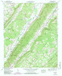
1959 Map of Keener
USGS Topo · Published 1985About this map
Big Wills Valley and Little Wills Valley slice through this landscape, creating a distinct corridor defined by the Great Southern Alabama railroad and the Tennessee Alabama and Georgia line. The settlement of Keener sits at the foot of Lookout Mountain, positioned near several gaps in the ridge like Keener Gap and Stephens Gap. The terrain's influence on local movement is evident in the numerous bridges and crossings such as Flat Church Bridge and Chumley Bridge, which connected farms in the valleys to the churches and cemeteries on the higher ground. Genealogists will find a high density of small community centers, including New Hope Church, Roden Ch, and the Duck Springs Cem. The 1980s updates highlight developments around Mountain View Lake and the Scenic Highway, showing the gradual shift from a purely agricultural and rail-oriented economy toward modern recreation and improved road access near the border of De Kalb and Etowah Counties.
Find a feature on this map
61 named features on this map. Tap any name to fly to it.
Don’t see what you’re looking for? This feature index may not catch every label — zoom into the map to look around manually.
Map Details
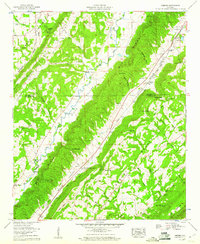
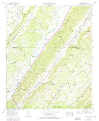
Editions of this 1959 Keener Map
3 editions found
Other maps of this area

1885 · Gadsden
USGS Topo · 1:125,000

1888 · Gadsden
USGS Topo · 1:125,000

1892 · Gadsden
USGS Topo · 1:125,000

1893 · Fort Payne
USGS Topo · 1:125,000

1895 · Gadsden
USGS Topo · 1:125,000

1898 · Fort Payne
USGS Topo · 1:125,000

1900 · Fort Payne
USGS Topo · 1:125,000

1903 · Gadsden
USGS Topo · 1:125,000

1936 · Painter
USGS Topo · 1:24,000

1936 · Crossville
USGS Topo · 1:24,000