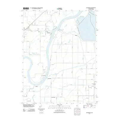
2012 Map of Keensburg
USGS Topo · Published 2012About this map
The Wabash River carves a winding course through this border region between Illinois and Indiana, defining a landscape shaped by both water and agriculture. Small settlements such as Rochester and Skelton are positioned near the riverbanks, while the Rochester and McCleary Bluffs Levee stands as a testament to the ongoing management of the river's floodplain. The area is marked by a complex network of drainage features, including the Little Sumner Ditch, Scott Ditch, and Higginbotham Ditch, which support the surrounding farmland.
Find a feature on this map
64 named features on this map. Tap any name to fly to it.
Don’t see what you’re looking for? This feature index may not catch every label — zoom into the map to look around manually.
Map Details
Editions of this 2012 Keensburg Map
This is the sole edition of this map. No revisions or reprints were ever made.
Other maps of this area

1901 · Princeton
USGS Topo · 1:62,500

1901 · Haubstadt
USGS Topo · 1:62,500

1903 · Haubstadt
USGS Topo · 1:62,500

1903 · New Harmony
USGS Topo · 1:62,500

1903 · Princeton
USGS Topo · 1:62,500

1903 · Patoka
USGS Topo · 1:125,000

1904 · Mount Carmel
USGS Topo · 1:62,500

1938 · New Harmony
USGS Topo · 1:62,500

1956 · Vincennes
USGS Topo · 1:250,000

1957 · Vincennes
USGS Topo · 1:250,000