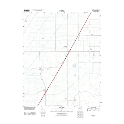
2011 Map of Keiser
USGS Topo · Published 2011About this map
Keiser and its surrounding agricultural landscape in Mississippi County are defined by a precision grid of rural roads and drainage bayous in the early 21st century. The town center sits along W Main St, serving as a hub for smaller outlying communities such as Shippen, Roy, and Hilton. This region of the Arkansas delta shows a high density of rural burial sites, including the Union Valley Cemetery in the northwest and the Little Bethlehem Cemetery near Carson Lake. The infrastructure of the area is geared toward both local commerce and regional transit, with the Osceola Municipal Airport situated on the eastern edge of the survey. Significant water features like Walker Bayou and Sandy Bayou continue to shape the drainage of this low-lying territory, while established settlements like Cottonwood Corner and Pace mark the intersections of the county's extensive road network.
Find a feature on this map
44 named features on this map. Tap any name to fly to it.
Don’t see what you’re looking for? This feature index may not catch every label — zoom into the map to look around manually.
Map Details
Editions of this 2011 Keiser Map
This is the sole edition of this map. No revisions or reprints were ever made.
Other maps of this area

1939 · Blytheville
USGS Topo · 1:62,500

1939 · Evadale
USGS Topo · 1:62,500

1941 · Manila
USGS Topo · 1:62,500

1953 · Memphis
USGS Topo · 1:250,000

1955 · Blytheville
USGS Topo · 1:62,500

1956 · Manila
USGS Topo · 1:62,500

1956 · Evadale
USGS Topo · 1:62,500

1956 · Memphis
USGS Topo · 1:250,000

1956 · Blytheville
USGS Topo · 1:250,000

1959 · Blytheville
USGS Topo · 1:250,000