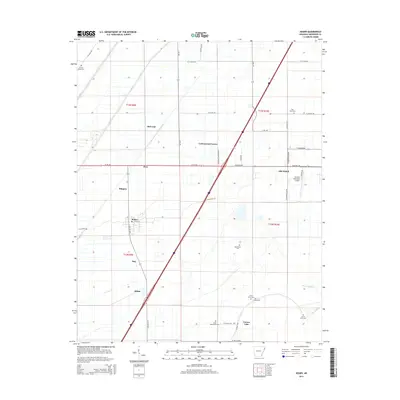
2014 Map of Keiser
USGS Topo · Published 2014About this map
Agricultural fields and drainage networks define this section of the Mississippi River delta, where the town of Keiser serves as a central hub for the surrounding rural settlements. The landscape is marked by a grid of section lines and drainage features like Waller Bayou and Sandy Bayou, reflecting the heavy engineering required for cultivation in this fertile bottomland. Small communities such as Shippen, Pace, and Cottonwood Corner are connected by a web of state highways and county roads, including S Ar-181 and W Ar-140.
Find a feature on this map
44 named features on this map. Tap any name to fly to it.
Don’t see what you’re looking for? This feature index may not catch every label — zoom into the map to look around manually.
Map Details
Editions of this 2014 Keiser Map
This is the sole edition of this map. No revisions or reprints were ever made.
Other maps of this area

1939 · Blytheville
USGS Topo · 1:62,500

1939 · Evadale
USGS Topo · 1:62,500

1941 · Manila
USGS Topo · 1:62,500

1953 · Memphis
USGS Topo · 1:250,000

1955 · Blytheville
USGS Topo · 1:62,500

1956 · Manila
USGS Topo · 1:62,500

1956 · Evadale
USGS Topo · 1:62,500

1956 · Memphis
USGS Topo · 1:250,000

1956 · Blytheville
USGS Topo · 1:250,000

1959 · Blytheville
USGS Topo · 1:250,000