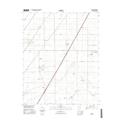
2017 Map of Keiser
USGS Topo · Published 2017About this map
Keiser and the eastern edge of Osceola anchor this survey of the Mississippi County delta, where the landscape is defined by a grid of agricultural drainages and long-established rural crossroads. The area's history is preserved in several small burial grounds scattered among the fields, including Union Valley Cem and Manchester Cem. Interstate 55 cuts a diagonal path across the terrain, passing between Cottonwood Corner and the small settlement of Shippen.
Find a feature on this map
50 named features on this map. Tap any name to fly to it.
Don’t see what you’re looking for? This feature index may not catch every label — zoom into the map to look around manually.
Map Details
Editions of this 2017 Keiser Map
This is the sole edition of this map. No revisions or reprints were ever made.
Other maps of this area

1939 · Blytheville
USGS Topo · 1:62,500

1939 · Evadale
USGS Topo · 1:62,500

1941 · Manila
USGS Topo · 1:62,500

1953 · Memphis
USGS Topo · 1:250,000

1955 · Blytheville
USGS Topo · 1:62,500

1956 · Manila
USGS Topo · 1:62,500

1956 · Evadale
USGS Topo · 1:62,500

1956 · Memphis
USGS Topo · 1:250,000

1956 · Blytheville
USGS Topo · 1:250,000

1959 · Blytheville
USGS Topo · 1:250,000