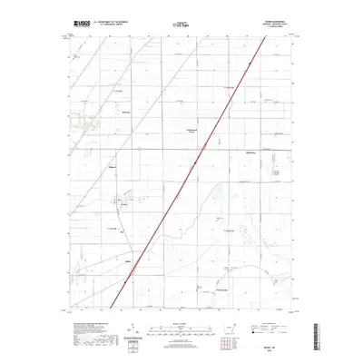
2020 Map of Keiser
USGS Topo · Published 2020About this map
Keiser and the outskirts of Osceola anchor this study of the Mississippi County landscape, where the flat alluvial plain is defined by a rigorous grid of section lines and drainage features. The settlement pattern follows this geometry, with smaller communities like Cottonwood Corner, Red Line, and Shippen situated at key intersections. The transition from the more developed town centers to the agricultural expanse is marked by several local burial grounds, including Union Valley Cem and Zion Rock Cem, which serve as vital points for genealogical research in this part of Arkansas.
Find a feature on this map
48 named features on this map. Tap any name to fly to it.
Don’t see what you’re looking for? This feature index may not catch every label — zoom into the map to look around manually.
Map Details
Editions of this 2020 Keiser Map
This is the sole edition of this map. No revisions or reprints were ever made.
Other maps of this area

1939 · Blytheville
USGS Topo · 1:62,500

1939 · Evadale
USGS Topo · 1:62,500

1941 · Manila
USGS Topo · 1:62,500

1953 · Memphis
USGS Topo · 1:250,000

1955 · Blytheville
USGS Topo · 1:62,500

1956 · Manila
USGS Topo · 1:62,500

1956 · Evadale
USGS Topo · 1:62,500

1956 · Memphis
USGS Topo · 1:250,000

1956 · Blytheville
USGS Topo · 1:250,000

1959 · Blytheville
USGS Topo · 1:250,000