
1935 Map of Keithsburg
USGS Topo · Published 1935About this map
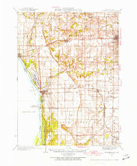
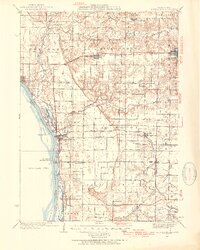
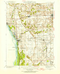
Keithsburg stands as a prominent river port along the Mississippi River in this mid-1930s survey, serving as a vital nexus where the Minneapolis and St Louis RR crosses the water. The landscape is defined by the convergence of the Edwards River, Pope Creek, and Henderson Creek, which carve through the fertile bottomlands of Mercer County. Away from the river, the township of Abington and the settlement of Joy are supported by a dense network of country schools, including Abington Center Sch and Maple Grove Sch, and rural landmarks like Peniel Ch and the Brick Cem.
Find a feature on this map
64 named features on this map. Tap any name to fly to it.
Don’t see what you’re looking for? This feature index may not catch every label — zoom into the map to look around manually.
Map Details
Editions of this 1935 Keithsburg Map
4 editions found
Other maps of this area

1912 · Milan
USGS Topo · 1:62,500

1916 · Edgington
USGS Topo · 1:62,500

1921 · Monmouth
USGS Topo · 1:62,500

1923 · Monmouth
USGS Topo · 1:62,500

1923 · Alexis
USGS Topo · 1:62,500

1925 · Alexis
USGS Topo · 1:62,500

1934 · Oquawka
USGS Topo · 1:48,000

1934 · Burlington
USGS Topo · 1:48,000

1938 · Edgington
USGS Topo · 1:62,500

1940 · Oquawka
USGS Topo · 1:62,500