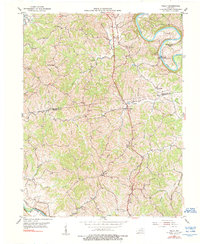
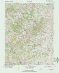
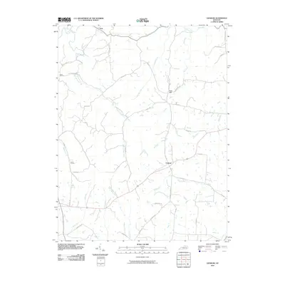
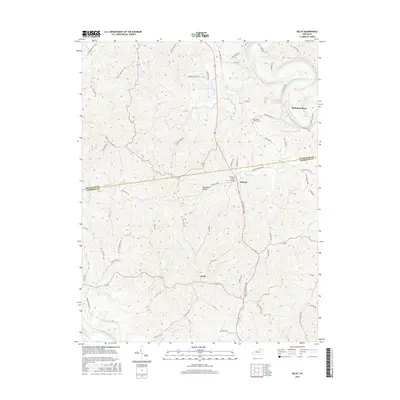
1953 Map of Kelat
USGS Topo · Published 1990About this map
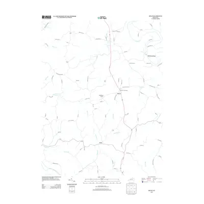
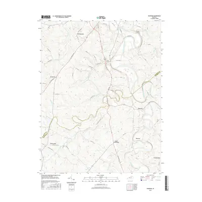
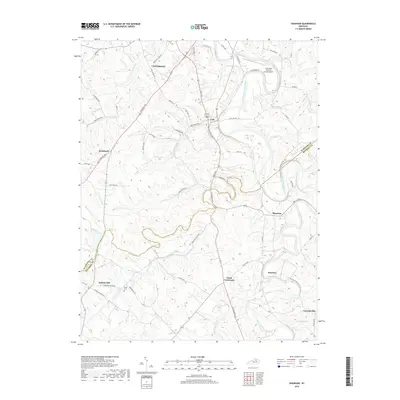
The Licking River carves a deep, winding path through the northern Kentucky landscape shown here, defining the rugged topography of the Pendleton Co Harrison Co border. Settlement is concentrated along the ridges and creek valleys, notably at McKinneysburg, which overlooks the river and the McKinneysburg Bar. The rural character of the mid-century is evident in the network of country churches and family burial sites, including Antioch Ch, Benson Ch, and the Old Mt Vernon Cem located near Mt Vernon Ch. In the southwest corner, the South Fork Licking River is paralleled by the Louisville and Nashville line, illustrating the importance of rail corridors to these river-valley communities. This 1952 aerial survey documentation preserves the layout of a landscape largely unchanged by modern development, tracing numerous small waterways like Blanket Creek, Richland Creek, and Curry Creek.
Find a feature on this map
25 named features on this map. Tap any name to fly to it.
Don’t see what you’re looking for? This feature index may not catch every label — zoom into the map to look around manually.
Map Details
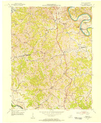
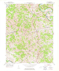
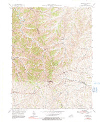
Editions of this 1953 Kelat Map
3 editions found
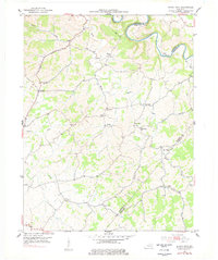
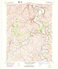
Historical Maps of McKinneysburg Through Time
30 maps found
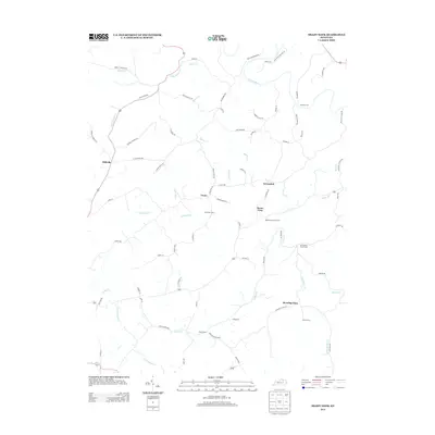
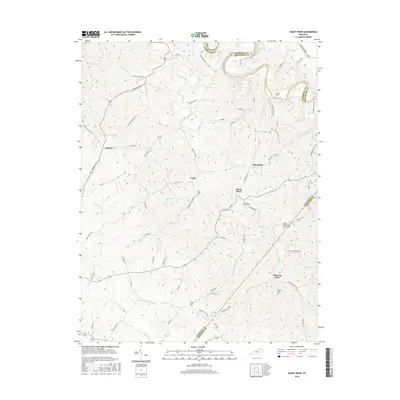
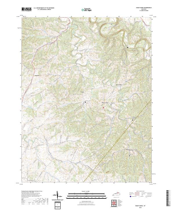
1952 Shady Nook
Harrison County, KY
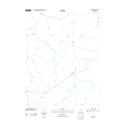
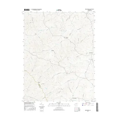
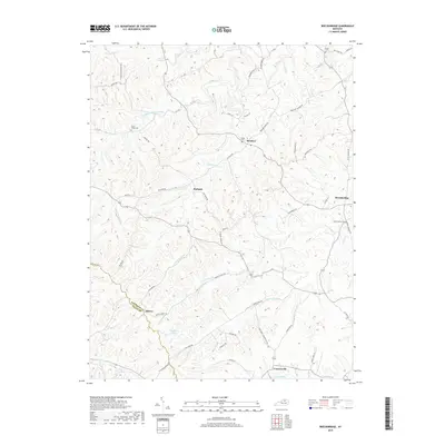
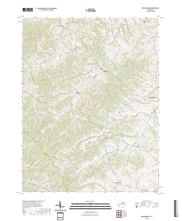
1953 Breckinridge
Harrison County, KY
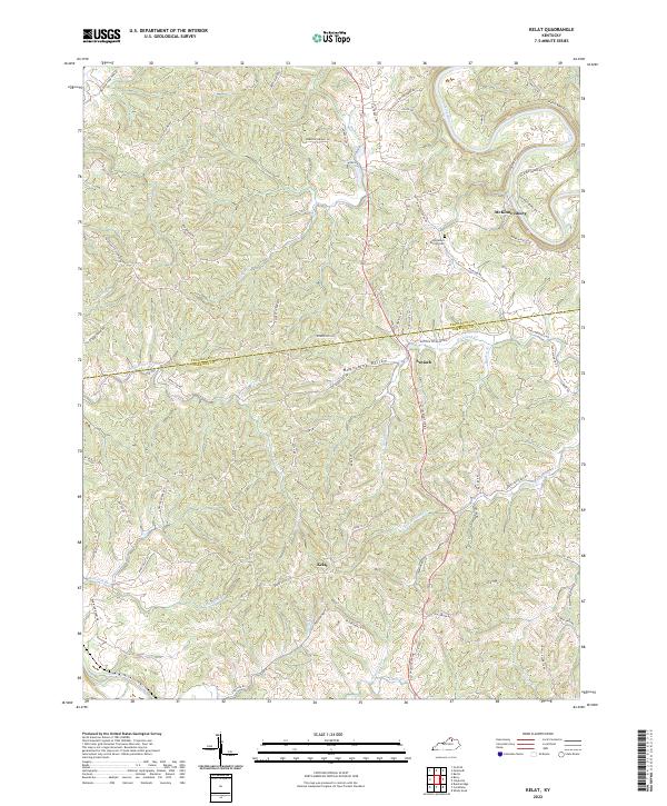
1953 Kelat
Harrison County, KY
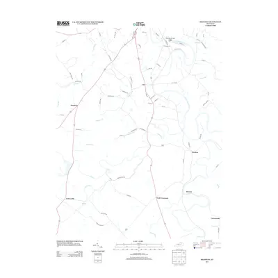
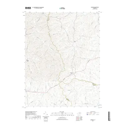
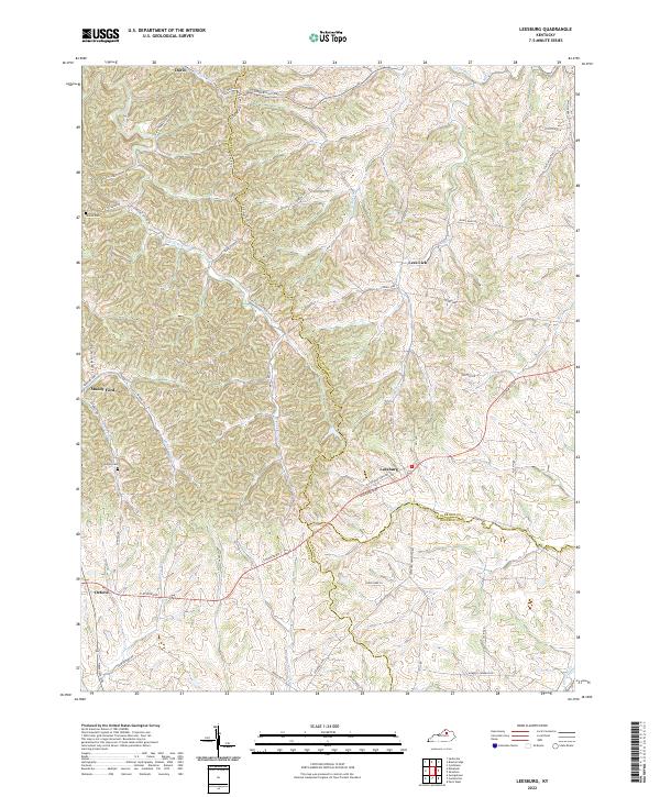
1954 Leesburg
Harrison County, KY
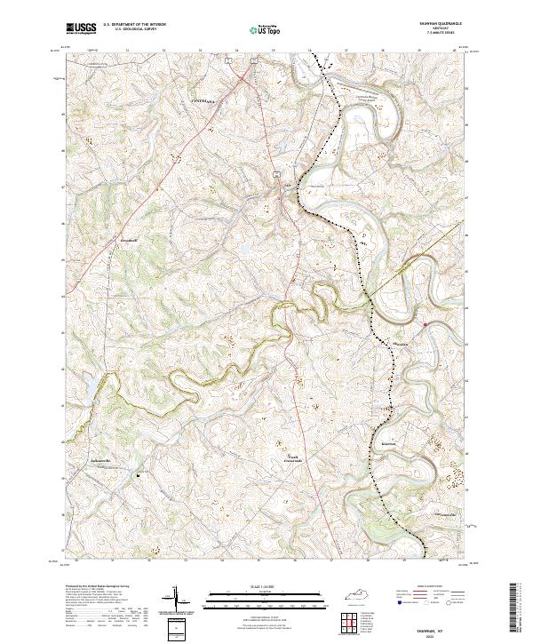
1954 Shawhan
Harrison County, KY
2010 Breckinridge
Harrison County, KY

2010 Kelat
Harrison County, KY
2010 Leesburg
Harrison County, KY
2010 Shady Nook
Harrison County, KY
2010 Shawhan
Harrison County, KY
2013 Breckinridge
Harrison County, KY
2013 Kelat
Harrison County, KY
2013 Leesburg
Harrison County, KY
2013 Shady Nook
Harrison County, KY
2013 Shawhan
Harrison County, KY
2016 Breckinridge
Harrison County, KY
2016 Kelat
Harrison County, KY
2016 Leesburg
Harrison County, KY
2016 Shady Nook
Harrison County, KY
2016 Shawhan
Harrison County, KY
2019 Breckinridge
Harrison County, KY
2019 Kelat
Harrison County, KY
2019 Leesburg
Harrison County, KY
2019 Shady Nook
Harrison County, KY
2019 Shawhan
Harrison County, KY
2022 Breckinridge
Harrison County, KY
2022 Kelat
Harrison County, KY
2022 Leesburg
Harrison County, KY
2022 Shady Nook
Harrison County, KY
2022 Shawhan
Harrison County, KY