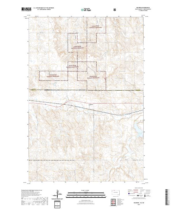
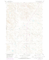
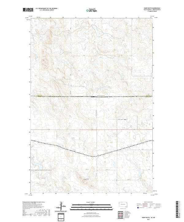
2021 Map of Keldron
USGS Topo · Published 2021About this map
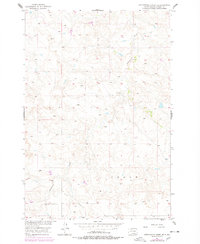
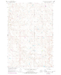
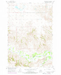
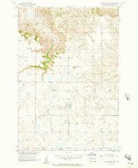
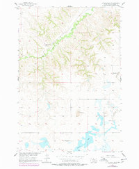
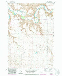
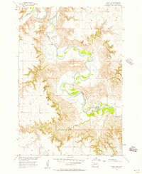
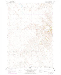
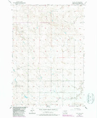
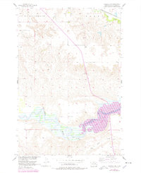
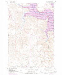
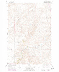
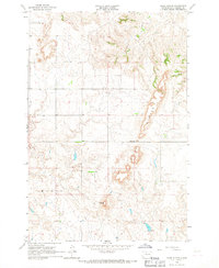
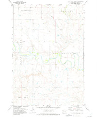
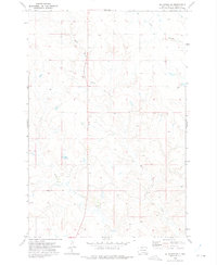
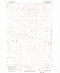
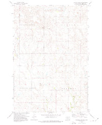
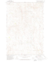
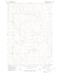
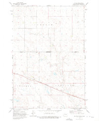
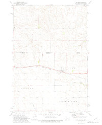
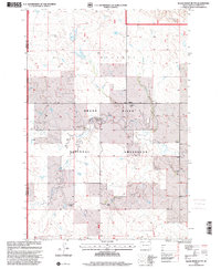
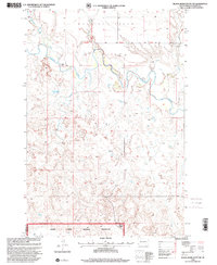
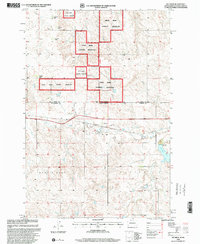
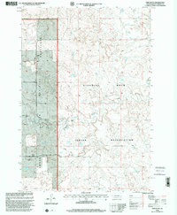
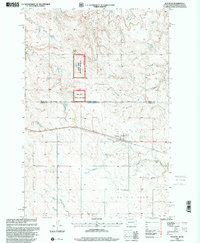
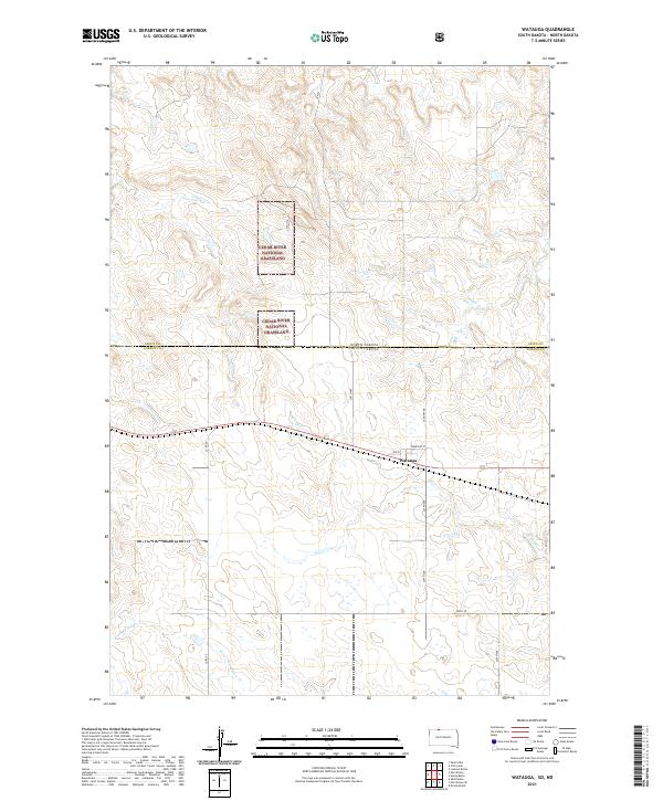
The settlement of Keldron sits at the center of this landscape along the border of the Dakotas, as surveyed in 2021. This prairie region is characterized by the expansive Cedar River National Grassland, which dominates the northern half of the quadrangle. The terrain is marked by the winding path of Hay Cr and the waters of Morristown Lake, providing a clear view of the drainage patterns in this portion of Corson Co. Local transportation is defined by a grid of rural roads, including Co Rd 33 and 214th Ave, which connect the scattered agricultural lands. This map captures the administrative boundaries where the North Dakota South Dakota state line meets the Sioux Co Corson Co border, offering an essential reference for understanding the modern layout of these high plains ranching and conservation lands.
Find a feature on this map
18 named features on this map. Tap any name to fly to it.
Don’t see what you’re looking for? This feature index may not catch every label — zoom into the map to look around manually.
Map Details
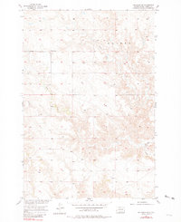
Editions of this 2021 Keldron Map
This is the sole edition of this map. No revisions or reprints were ever made.
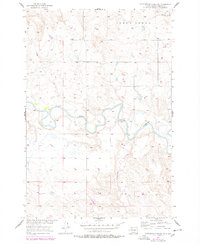
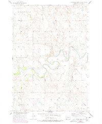
Historical Maps of Keldron Through Time
91 maps found
1956 Black Horse
Corson County, SD
1956 Black Horse NE
Corson County, SD
1956 Black Horse SE
Corson County, SD
1956 Black Horse SW
Corson County, SD
1956 Bullhead SW
Corson County, SD
1956 Cottonwood Creek NE
Corson County, SD
1956 Cottonwood Creek NW
Corson County, SD
1956 Cottonwood Creek SE
Corson County, SD
1956 Cottonwood Creek SW
Corson County, SD
1956 Little Eagle NW
Corson County, SD
1956 Little Eagle SE
Corson County, SD
1956 Little Eagle SW
Corson County, SD
1956 Miscol
Corson County, SD
1956 Miscol NE
Corson County, SD
1956 Miscol SE
Corson County, SD
1956 Miscol SW
Corson County, SD
1956 Wakpala NW
Corson County, SD
1956 Wakpala SE
Corson County, SD
1956 Wakpala SW
Corson County, SD
1966 Kline Buttes
Corson County, SD

1966 Mahto
Corson County, SD
1966 Mahto NE
Corson County, SD

1966 Mahto NW
Corson County, SD

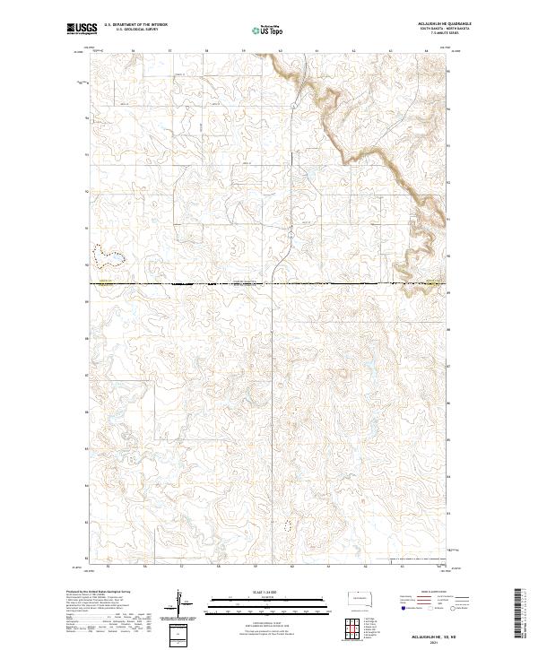
1966 McLaughlin NE
Corson County, SD
1967 Mobridge NW
Corson County, SD

1971 Maple Leaf
Corson County, SD

1971 McLaughlin SW
Corson County, SD
1972 Black Horse Butte
Corson County, SD
1972 Black Horse Butte NE
Corson County, SD
1972 Black Horse Butte NW
Corson County, SD
1972 Hump Butte
Corson County, SD
1972 Keldron
Corson County, SD
1972 McIntosh SE
Corson County, SD
1972 McIntosh SW
Corson County, SD
1972 Morristown SE
Corson County, SD
1972 Skull Butte
Corson County, SD
1972 Tatanka Lake
Corson County, SD

1972 Thunder Hawk
Corson County, SD
1972 Thunder Hawk SE
Corson County, SD
1972 Thunder Hawk SW
Corson County, SD
1972 Twin Butte
Corson County, SD
1972 Walker
Corson County, SD
1972 Watauga
Corson County, SD
1998 Black Horse Butte
Corson County, SD
1998 Black Horse Butte NW
Corson County, SD
1998 Keldron
Corson County, SD
1998 Twin Butte
Corson County, SD
1998 Watauga
Corson County, SD
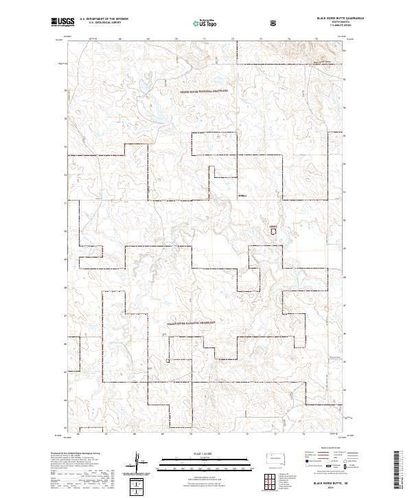
2021 Black Horse Butte
Corson County, SD
2021 Black Horse Butte NE
Corson County, SD
2021 Black Horse Butte NW
Corson County, SD
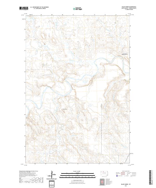
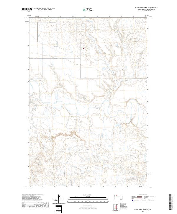
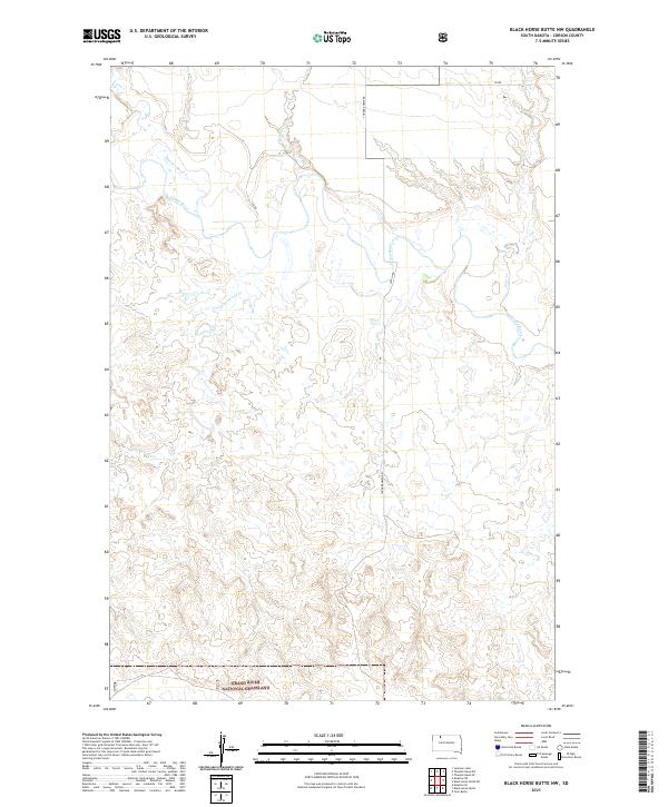
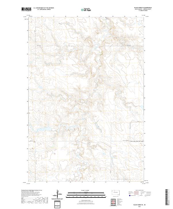
2021 Black Horse
Corson County, SD
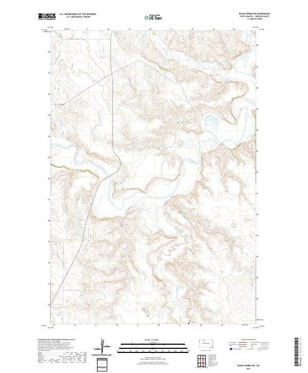
2021 Black Horse NE
Corson County, SD
2021 Black Horse SE
Corson County, SD
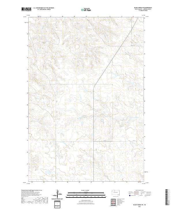
2021 Black Horse SW
Corson County, SD
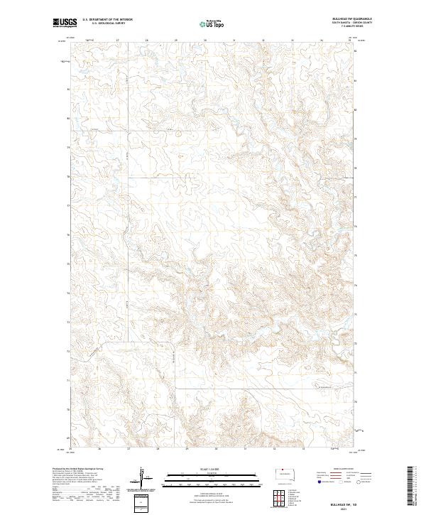
2021 Bullhead SW
Corson County, SD
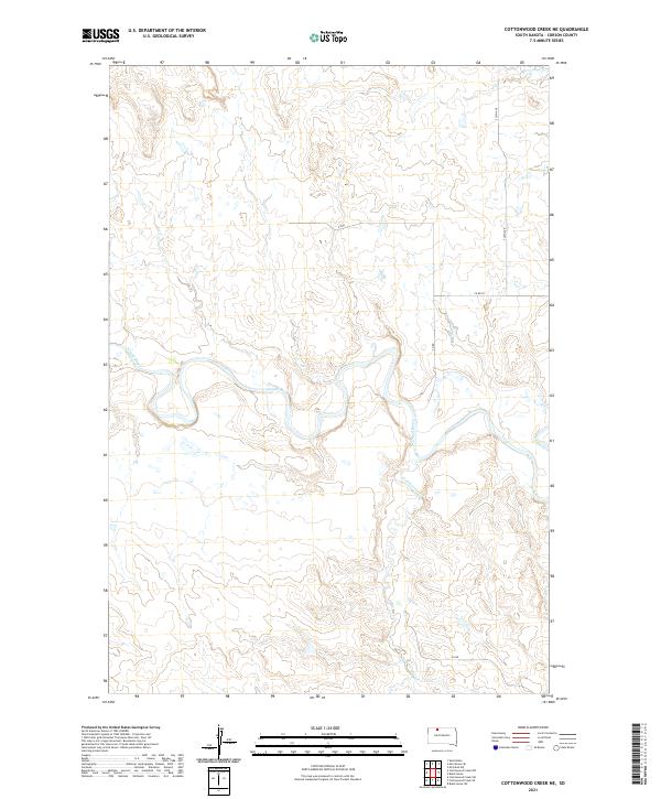
2021 Cottonwood Creek NE
Corson County, SD
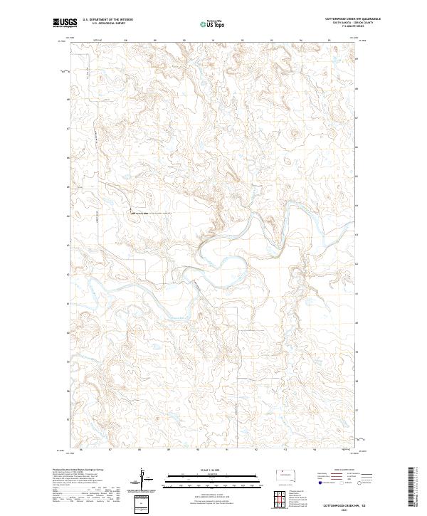
2021 Cottonwood Creek NW
Corson County, SD
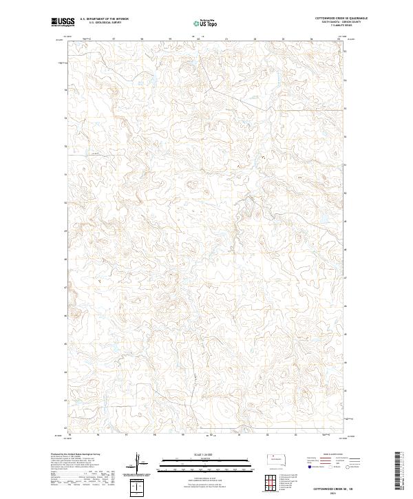
2021 Cottonwood Creek SE
Corson County, SD
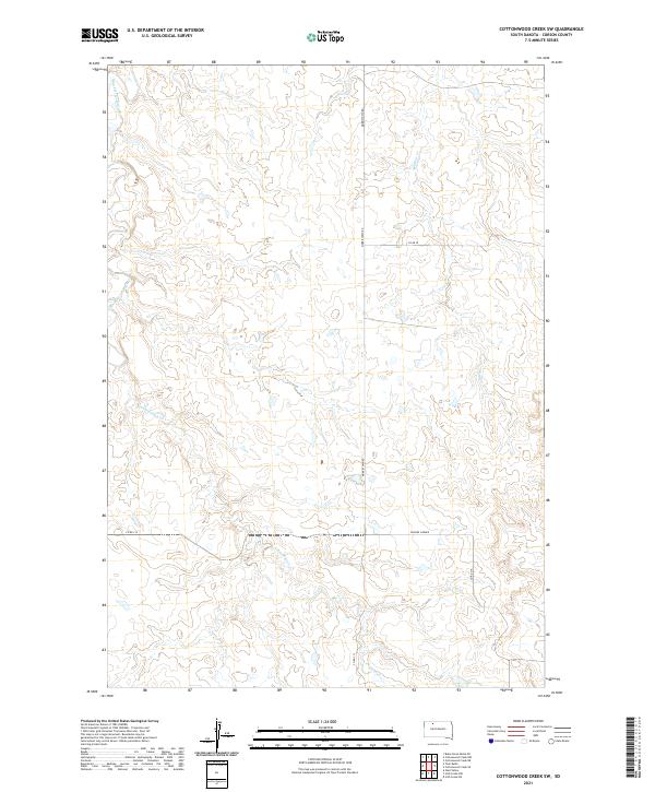
2021 Cottonwood Creek SW
Corson County, SD
2021 Hump Butte
Corson County, SD
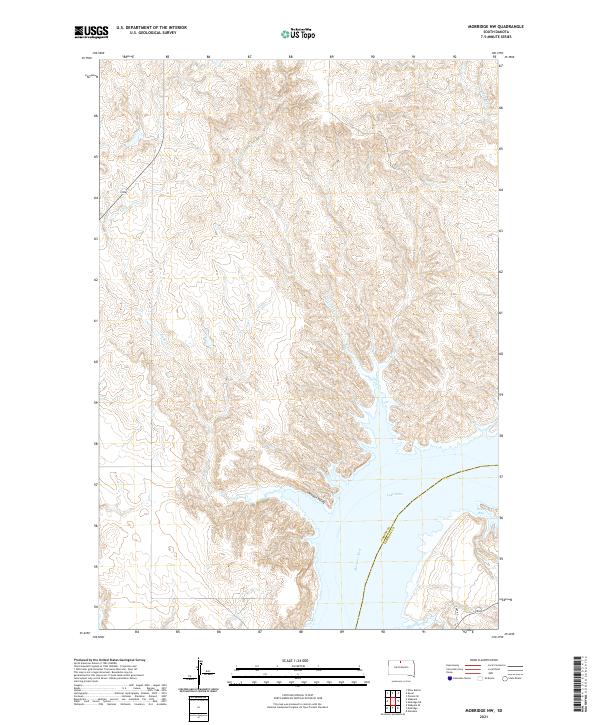
2021 Keldron
Corson County, SD
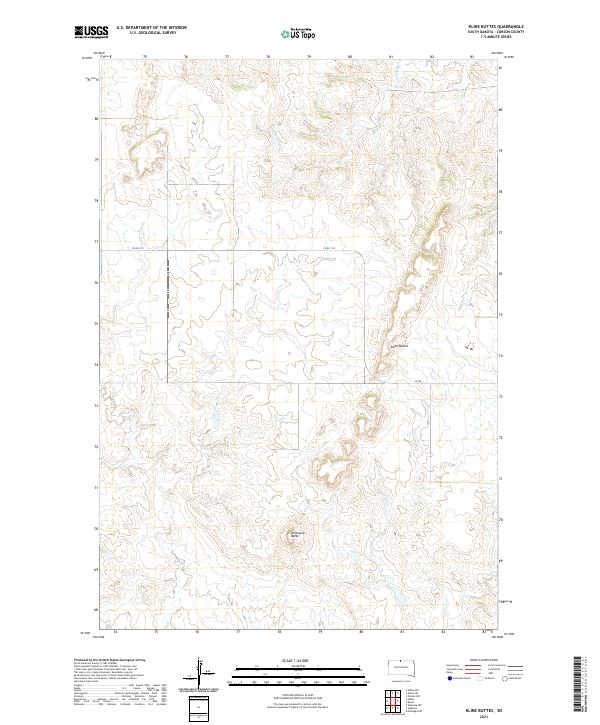
2021 Kline Buttes
Corson County, SD
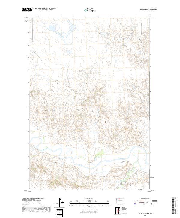
2021 Little Eagle NW
Corson County, SD
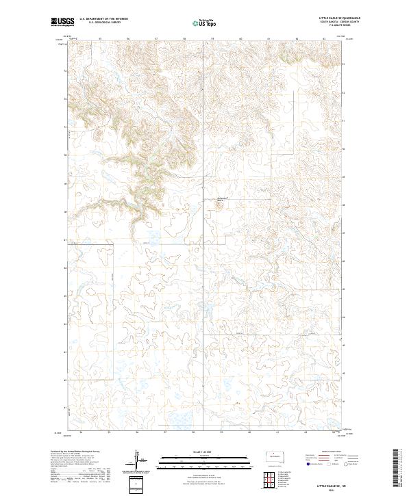
2021 Little Eagle SE
Corson County, SD
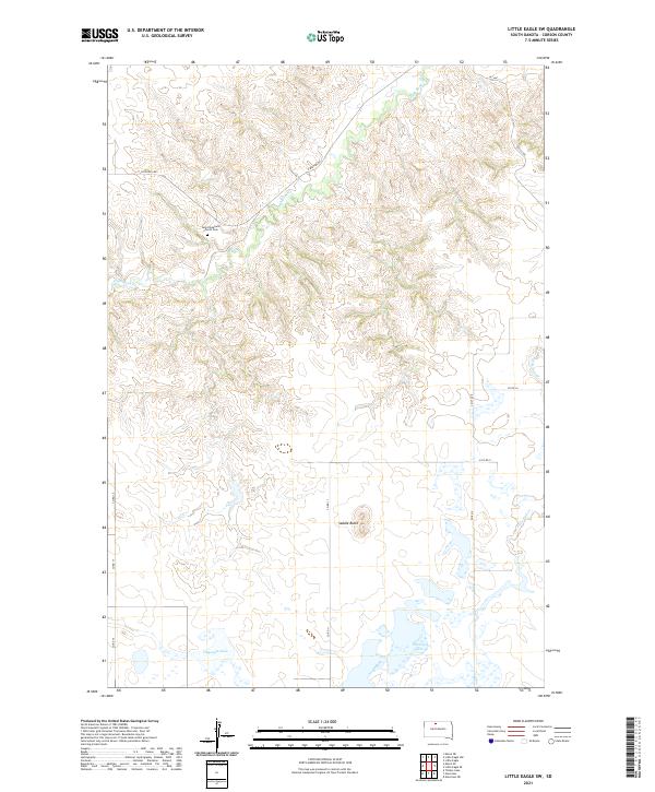
2021 Little Eagle SW
Corson County, SD
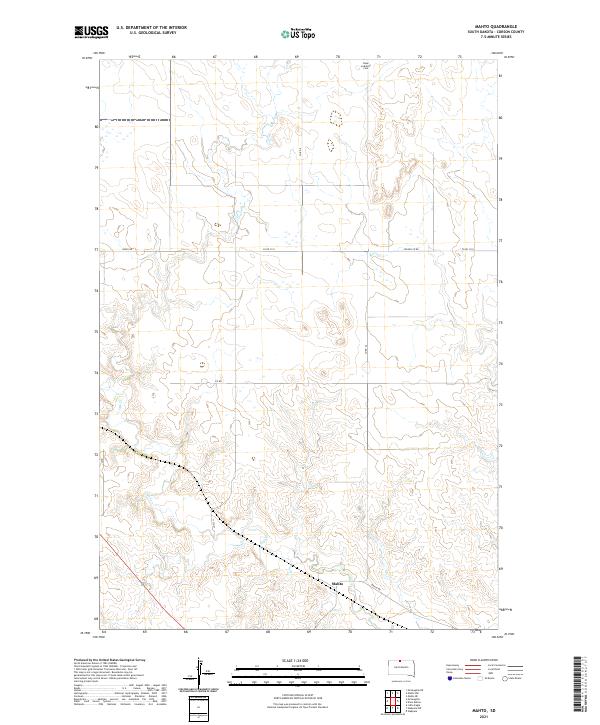
2021 Mahto
Corson County, SD
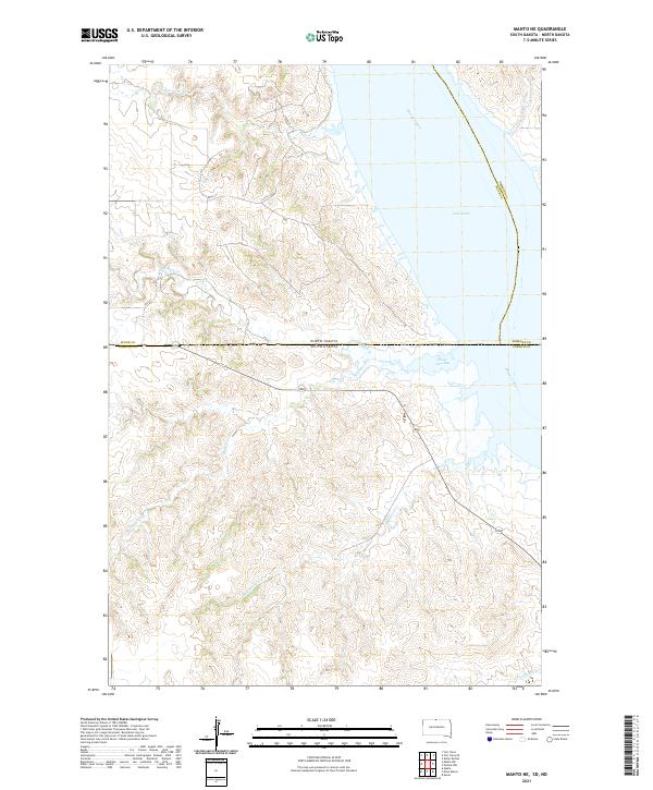
2021 Mahto NE
Corson County, SD
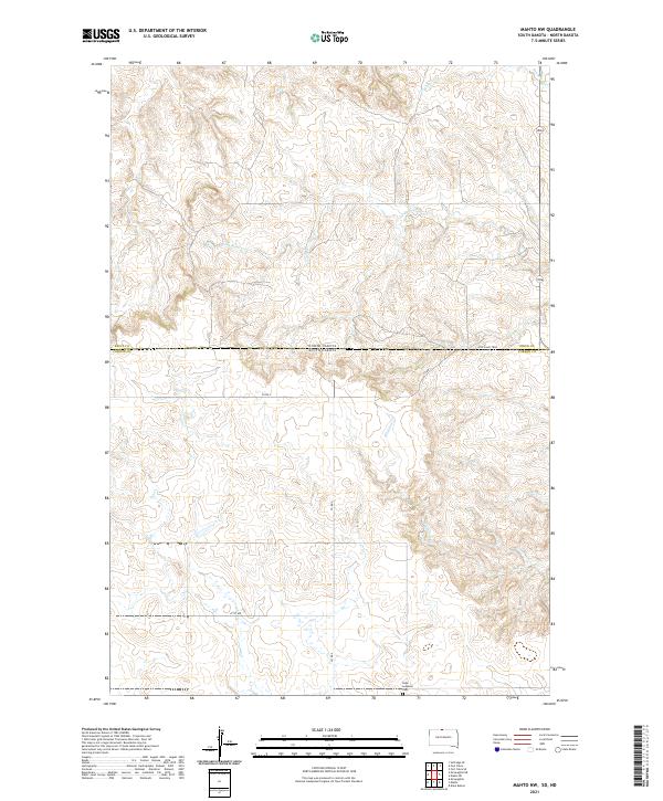
2021 Mahto NW
Corson County, SD
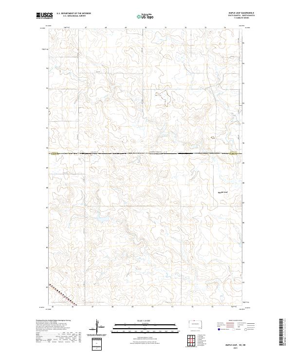
2021 Maple Leaf
Corson County, SD
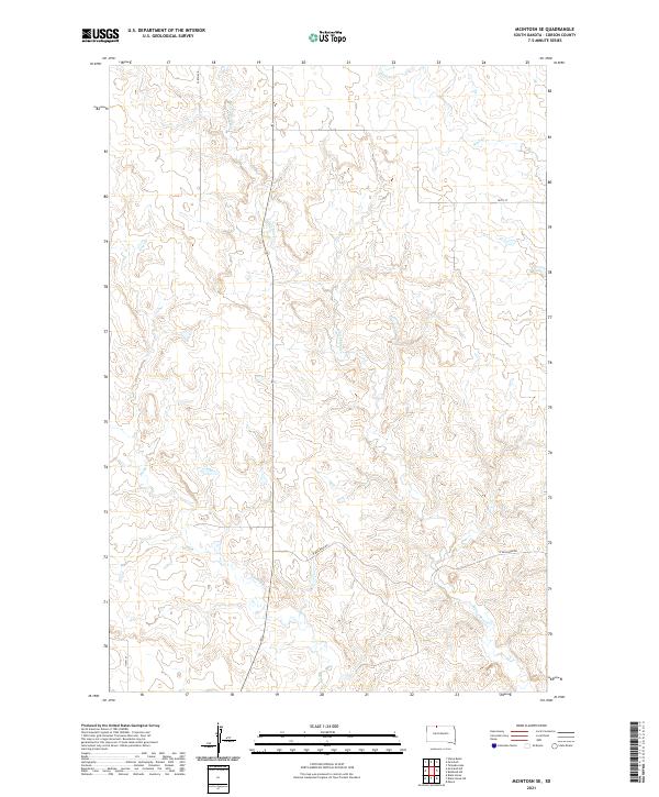
2021 McIntosh SE
Corson County, SD
2021 McIntosh SW
Corson County, SD
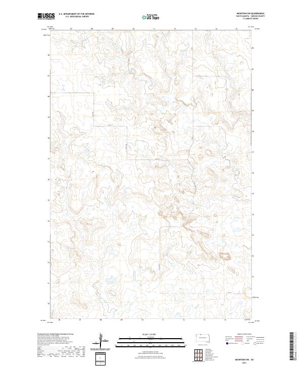
2021 McLaughlin NE
Corson County, SD
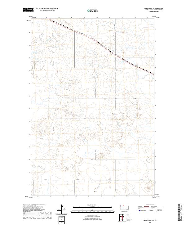
2021 McLaughlin SW
Corson County, SD
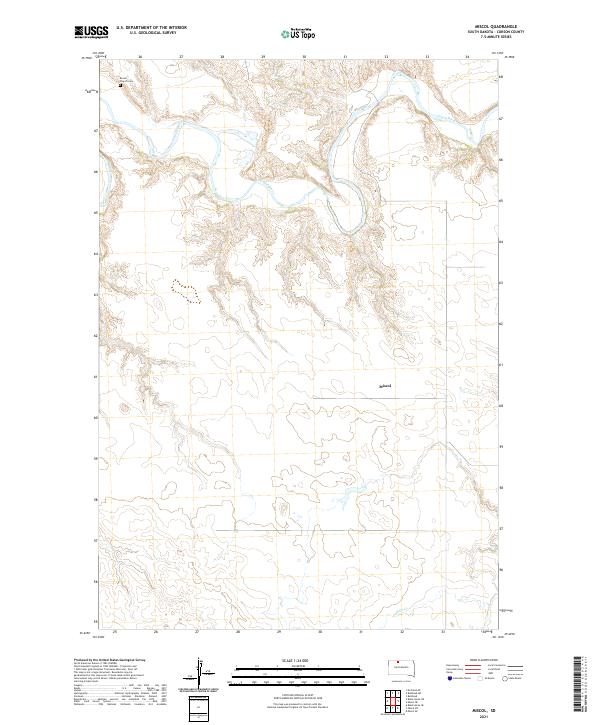
2021 Miscol
Corson County, SD
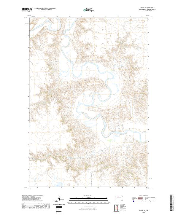
2021 Miscol NE
Corson County, SD
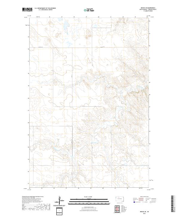
2021 Miscol SE
Corson County, SD
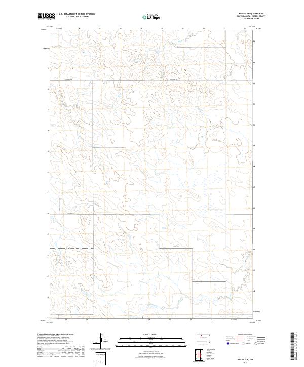
2021 Miscol SW
Corson County, SD
2021 Mobridge NW
Corson County, SD
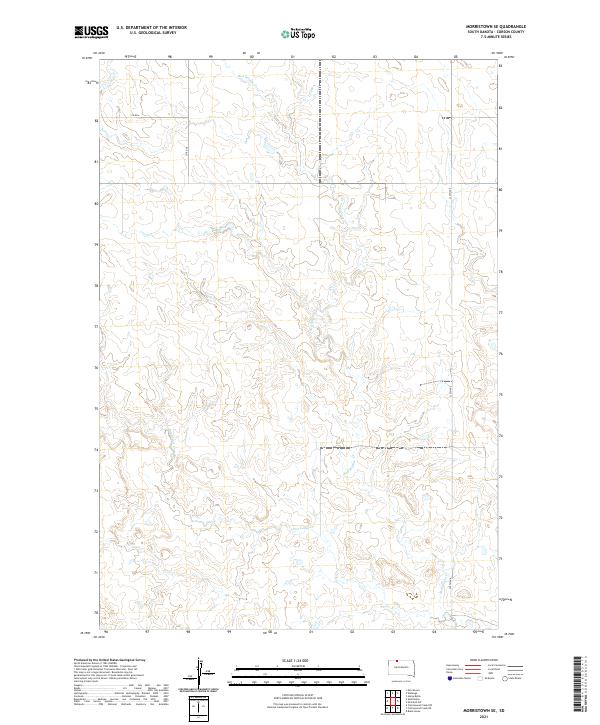
2021 Morristown SE
Corson County, SD
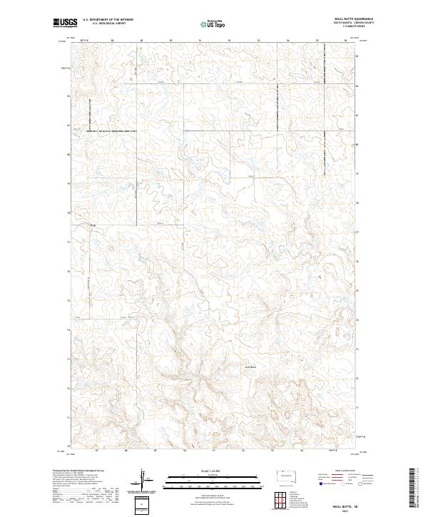
2021 Skull Butte
Corson County, SD
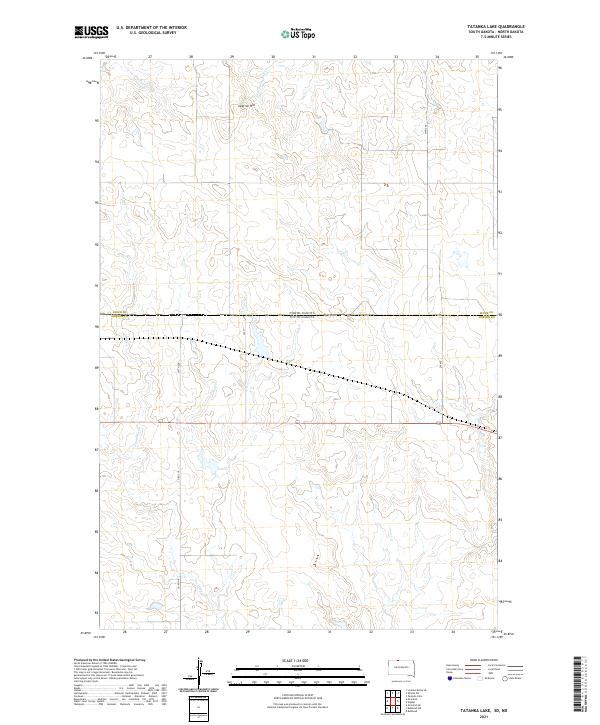
2021 Tatanka Lake
Corson County, SD
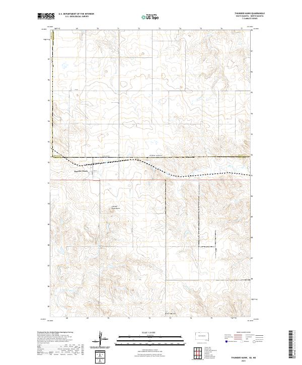
2021 Thunder Hawk
Corson County, SD
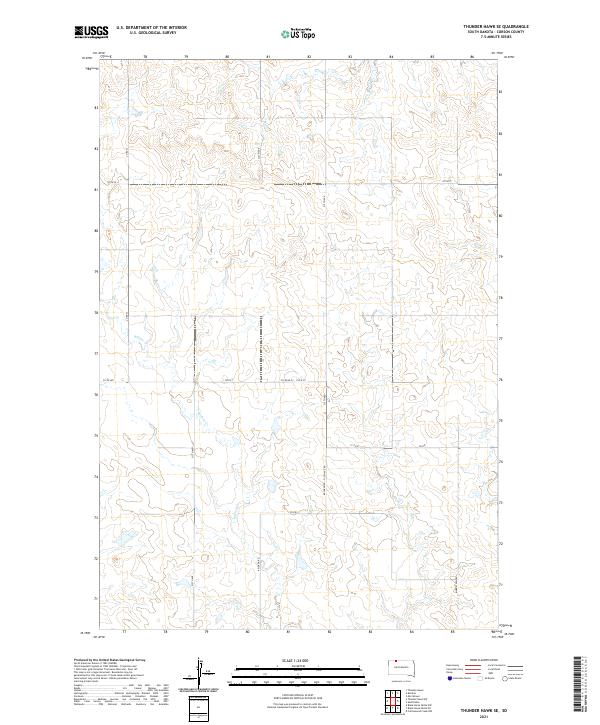
2021 Thunder Hawk SE
Corson County, SD
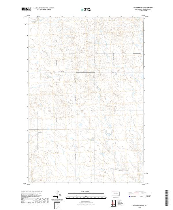
2021 Thunder Hawk SW
Corson County, SD
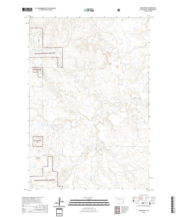
2021 Twin Butte
Corson County, SD
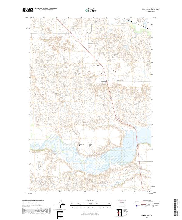
2021 Wakpala NW
Corson County, SD
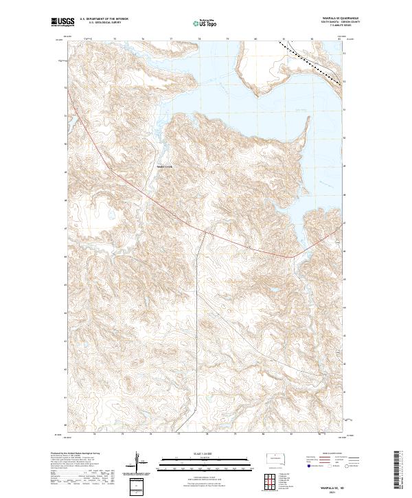
2021 Wakpala SE
Corson County, SD
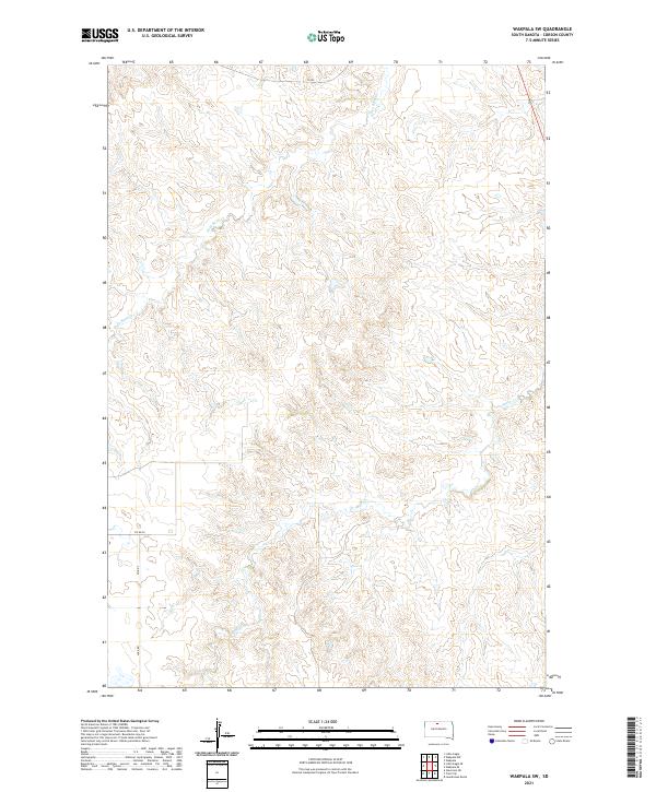
2021 Wakpala SW
Corson County, SD
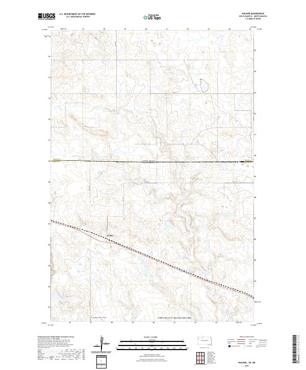
2021 Walker
Corson County, SD
2021 Watauga
Corson County, SD
Featured Locations
- Corson County, SD
- Rock Creek District, SD
- Porcupine District, ND
- Keldron, Rock Creek District
- Menz Township, Porcupine District