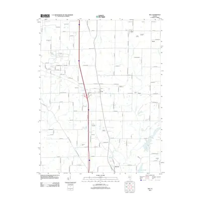
2012 Map of Kell
USGS Topo · Published 2012About this map
The Dix Oil Field anchors the western side of this Jefferson County landscape, illustrating the regional importance of the local petroleum industry. Small settlements like Dix, Kell, and Texico serve as local hubs, connected by a network of rural roads such as Kell Rd and Walnut Hill Rd. The terrain is defined by its density of family and community burial sites, including Old Covenanter Cem and Jennings Farm Cem, which are invaluable for genealogical research. Water features such as Limestone Cr, Casey Fork, and Lake Normandy drain the area, while agricultural landmarks like Beal's Orchard show the continued use of the land for traditional farming. This survey captures the steady rural character of the Illinois interior, where small-scale industry and family heritage remain deeply rooted in the geography.
Find a feature on this map
134 named features on this map. Tap any name to fly to it.
Don’t see what you’re looking for? This feature index may not catch every label — zoom into the map to look around manually.
Map Details
Editions of this 2012 Kell Map
This is the sole edition of this map. No revisions or reprints were ever made.
Other maps of this area

1914 · Centralia
USGS Topo · 1:62,500

1933 · Mount Vernon
USGS Topo · 1:48,000

1934 · Salem
USGS Topo · 1:62,500

1935 · Centralia
USGS Topo · 1:62,500

1938 · Salem
USGS Topo · 1:62,500

1940 · Mount Vernon
USGS Topo · 1:62,500

1943 · Ashley
USGS Topo · 1:62,500

1946 · Ashley
USGS Topo · 1:62,500

1958 · Belleville
USGS Topo · 1:250,000

1962 · Belleville
USGS Topo · 1:250,000