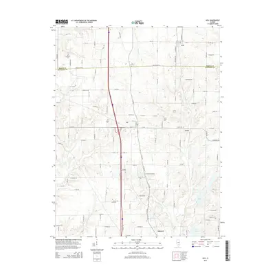
2015 Map of Kell
USGS Topo · Published 2015About this map
The northern border of Jefferson County meets Marion County in this landscape defined by small rural hubs and a high concentration of local burial grounds. The settlement of Kell sits at the northern edge, while Texico and the community of Idlewood anchor the central and southern portions of the map. These small clusters of residency are surrounded by a dense network of country roads, including E 2300 N Rd and Walnut Hill Rd, which serve the agricultural plots between the creek basins.
Find a feature on this map
58 named features on this map. Tap any name to fly to it.
Don’t see what you’re looking for? This feature index may not catch every label — zoom into the map to look around manually.
Map Details
Editions of this 2015 Kell Map
This is the sole edition of this map. No revisions or reprints were ever made.
Other maps of this area

1914 · Centralia
USGS Topo · 1:62,500

1933 · Mount Vernon
USGS Topo · 1:48,000

1934 · Salem
USGS Topo · 1:62,500

1935 · Centralia
USGS Topo · 1:62,500

1938 · Salem
USGS Topo · 1:62,500

1940 · Mount Vernon
USGS Topo · 1:62,500

1943 · Ashley
USGS Topo · 1:62,500

1946 · Ashley
USGS Topo · 1:62,500

1958 · Belleville
USGS Topo · 1:250,000

1962 · Belleville
USGS Topo · 1:250,000