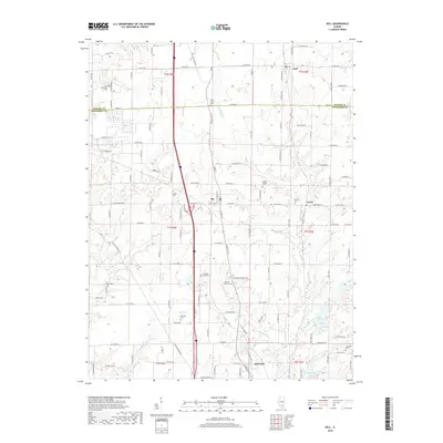
2018 Map of Kell
USGS Topo · Published 2018About this map
Dix and Texico serve as central nodes in this rural section of southern Illinois, where the landscape is defined by the headwaters of numerous creeks and several small reservoirs. Family history is etched into the terrain through a high density of burial grounds, including the Old Covenanter Cem in the northwest and the Jennings Farm Cem further south. The settlement of Kell sits at the northern edge near the Marion County line, while Idlewood occupies the southern reaches near Lake Normandy. This 2018 survey reveals a landscape of transition where traditional farmsteads and old country churches like Jordan Chapel sit alongside modern developments and recreational waters like Lake Jaycee and Miller Lake. The map provides a detailed view of the local road network, from established county highways to smaller lanes like N Old Centralia Ln.
Find a feature on this map
73 named features on this map. Tap any name to fly to it.
Don’t see what you’re looking for? This feature index may not catch every label — zoom into the map to look around manually.
Map Details
Editions of this 2018 Kell Map
This is the sole edition of this map. No revisions or reprints were ever made.
Other maps of this area

1914 · Centralia
USGS Topo · 1:62,500

1933 · Mount Vernon
USGS Topo · 1:48,000

1934 · Salem
USGS Topo · 1:62,500

1935 · Centralia
USGS Topo · 1:62,500

1938 · Salem
USGS Topo · 1:62,500

1940 · Mount Vernon
USGS Topo · 1:62,500

1943 · Ashley
USGS Topo · 1:62,500

1946 · Ashley
USGS Topo · 1:62,500

1958 · Belleville
USGS Topo · 1:250,000

1962 · Belleville
USGS Topo · 1:250,000