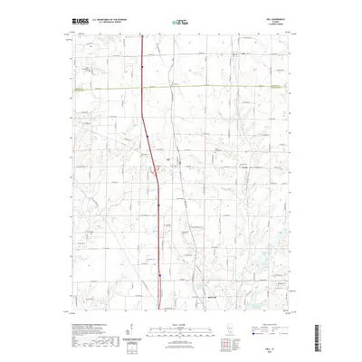
2021 Map of Kell
USGS Topo · Published 2021About this map
Kell and Dix anchor this section of southern Illinois along the border of Marion and Jefferson Counties. The landscape is defined by a dense network of country roads and small communities connected by historic routes like Texico Rd and Co Hwy 32. Waterways such as Raccoon Creek and Casey Fork snake through the terrain, punctuated by several significant reservoirs including Lake Normandy, Miller Lake, and Lake Jaycee.
Find a feature on this map
62 named features on this map. Tap any name to fly to it.
Don’t see what you’re looking for? This feature index may not catch every label — zoom into the map to look around manually.
Map Details
Editions of this 2021 Kell Map
This is the sole edition of this map. No revisions or reprints were ever made.
Other maps of this area

1914 · Centralia
USGS Topo · 1:62,500

1933 · Mount Vernon
USGS Topo · 1:48,000

1934 · Salem
USGS Topo · 1:62,500

1935 · Centralia
USGS Topo · 1:62,500

1938 · Salem
USGS Topo · 1:62,500

1940 · Mount Vernon
USGS Topo · 1:62,500

1943 · Ashley
USGS Topo · 1:62,500

1946 · Ashley
USGS Topo · 1:62,500

1958 · Belleville
USGS Topo · 1:250,000

1962 · Belleville
USGS Topo · 1:250,000