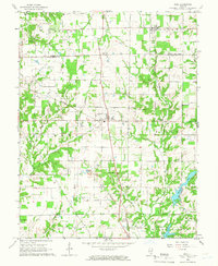
1965 Map of Kell
USGS Topo · Published 1968About this map
The boundary between Marion and Jefferson Counties bisects this mid-1960s landscape, where rural life is centered on the railway junctions of Kell, Texico, and Dix. The region's character is defined by a dense network of country churches and burial grounds, such as the Old Covenanter Cem and Gilead Cem, which serve as vital markers for local genealogical research.
Find a feature on this map
39 named features on this map. Tap any name to fly to it.
Don’t see what you’re looking for? This feature index may not catch every label — zoom into the map to look around manually.
Map Details
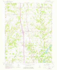
Editions of this 1965 Kell Map
2 editions found
Other maps of this area

1914 · Centralia
USGS Topo · 1:62,500

1933 · Mount Vernon
USGS Topo · 1:48,000

1934 · Salem
USGS Topo · 1:62,500

1935 · Centralia
USGS Topo · 1:62,500

1938 · Salem
USGS Topo · 1:62,500

1940 · Mount Vernon
USGS Topo · 1:62,500

1943 · Ashley
USGS Topo · 1:62,500

1946 · Ashley
USGS Topo · 1:62,500

1958 · Belleville
USGS Topo · 1:250,000

1962 · Belleville
USGS Topo · 1:250,000