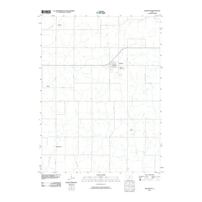
2010 Map of Kellerton
USGS Topo · Published 2010About this map
Kellerton serves as the central hub for this portion of Ringgold County, where the street grid of the town site meets the Kellerton Post Office and Maple Row Cemetery. The surrounding landscape is defined by its agricultural layout, with long-established county roads like Co RD p64 and 330th Ave dividing the terrain into a predictable grid. Scattered throughout these rural sections are small, historically significant markers of the early community, such as Woodland Cemetery in the north and Lewis Cemetery to the southeast near Kuder Creek.
Find a feature on this map
22 named features on this map. Tap any name to fly to it.
Don’t see what you’re looking for? This feature index may not catch every label — zoom into the map to look around manually.
Map Details
Editions of this 2010 Kellerton Map
This is the sole edition of this map. No revisions or reprints were ever made.
Other maps of this area

1945 · Mount Ayr
USGS Topo · 1:62,500

1945 · Lamoni
USGS Topo · 1:62,500

1947 · Lamoni
USGS Topo · 1:62,500

1947 · Mount Ayr
USGS Topo · 1:62,500

1954 · Centerville
USGS Topo · 1:250,000

1955 · Nebraska City
USGS Topo · 1:250,000

1957 · Nebraska City
USGS Topo · 1:250,000

1957 · Centerville
USGS Topo · 1:250,000

1958 · Centerville
USGS Topo · 1:250,000

1958 · Nebraska City
USGS Topo · 1:250,000