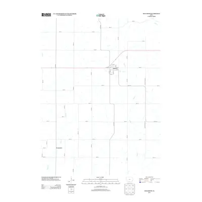
2013 Map of Kellerton
USGS Topo · Published 2013About this map
The town of Kellerton serves as the primary hub of this rural Ringgold County landscape, centered around a compact grid that includes Main St, 1st Ave, and Davis St. The surrounding countryside is defined by an orderly network of section-line roads, such as Decatur Ringgold Ave and Co Hwy-J45, which connect isolated farmsteads and agricultural plots. To the southwest, the named settlement of Wanamaker appears as a small crossroads community. The terrain is drained by several meandering watercourses, including Kuder Cr, Tuckers Cr, and W Elk Cr, which carve gentle patterns across the prairie landscape. This 2013 survey provides a clear look at the enduring rural layout of southern Iowa, where small town centers remain vital anchors for the surrounding family-run acreage and decentralized road networks.
Find a feature on this map
41 named features on this map. Tap any name to fly to it.
Don’t see what you’re looking for? This feature index may not catch every label — zoom into the map to look around manually.
Map Details
Editions of this 2013 Kellerton Map
This is the sole edition of this map. No revisions or reprints were ever made.
Other maps of this area

1945 · Mount Ayr
USGS Topo · 1:62,500

1945 · Lamoni
USGS Topo · 1:62,500

1947 · Lamoni
USGS Topo · 1:62,500

1947 · Mount Ayr
USGS Topo · 1:62,500

1954 · Centerville
USGS Topo · 1:250,000

1955 · Nebraska City
USGS Topo · 1:250,000

1957 · Nebraska City
USGS Topo · 1:250,000

1957 · Centerville
USGS Topo · 1:250,000

1958 · Centerville
USGS Topo · 1:250,000

1958 · Nebraska City
USGS Topo · 1:250,000