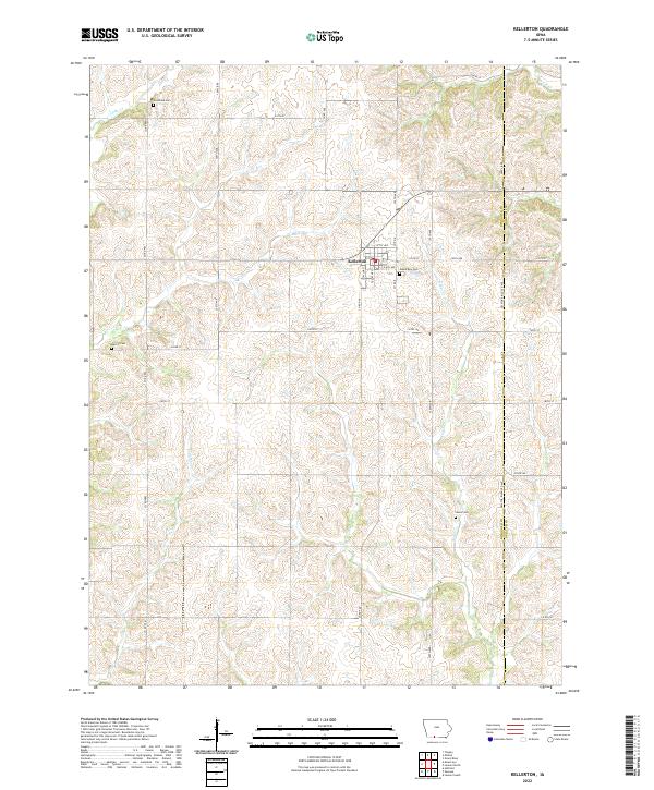
2022 Map of Kellerton
USGS Topo · Published 2022About this map
Kellerton occupies a central position on this Ringgold County landscape, where the local street grid including S Taylor St and S Decatur St meets the rural road network. The surrounding terrain is defined by the dendritic drainage patterns of Lotts Cr, Tuckers Cr, and Kuder Cr, which carve through the agricultural uplands. For genealogists and local historians, the map is a significant record of rural interment sites, preserving the locations of Woodland Cem to the north, Maple Row Cem on the eastern edge of town, and the more isolated Merritt Cem and Lewis Cem. The eastern border of the survey follows the Ringgold Co Decatur Co line, illustrating how township and county boundaries align with the section-line roads like 330th Ave and 240th St that still organize this part of southern Iowa.
Find a feature on this map
37 named features on this map. Tap any name to fly to it.
Don’t see what you’re looking for? This feature index may not catch every label — zoom into the map to look around manually.
Map Details
Editions of this 2022 Kellerton Map
This is the sole edition of this map. No revisions or reprints were ever made.
Other maps of this area

1945 · Mount Ayr
USGS Topo · 1:62,500

1945 · Lamoni
USGS Topo · 1:62,500

1947 · Lamoni
USGS Topo · 1:62,500

1947 · Mount Ayr
USGS Topo · 1:62,500

1954 · Centerville
USGS Topo · 1:250,000

1955 · Nebraska City
USGS Topo · 1:250,000

1957 · Nebraska City
USGS Topo · 1:250,000

1957 · Centerville
USGS Topo · 1:250,000

1958 · Centerville
USGS Topo · 1:250,000

1958 · Nebraska City
USGS Topo · 1:250,000