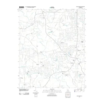
2011 Map of Kelleytown
USGS Topo · Published 2011About this map
Kelleytown serves as a central point for this part of DeKalb and Henry Counties, where the landscape is defined by the winding course of the South River and its numerous tributaries. The area reflects a deep-rooted community history, evidenced by a high density of small family and church burial grounds such as Whitaker Cemetery, Bonner Cemetery, and the Hartfield and Everitt Cemetery. To the south and west, the terrain is shaped by the Big Cotton Indian Creek and Little Cotton Indian Creek watersheds.
Find a feature on this map
106 named features on this map. Tap any name to fly to it.
Don’t see what you’re looking for? This feature index may not catch every label — zoom into the map to look around manually.
Map Details
Editions of this 2011 Kelleytown Map
This is the sole edition of this map. No revisions or reprints were ever made.
Other maps of this area

1888 · Atlanta
USGS Topo · 1:125,000

1890 · Atlanta
USGS Topo · 1:125,000

1892 · Atlanta
USGS Topo · 1:125,000

1895 · Atlanta
USGS Topo · 1:125,000

1896 · Monroe
USGS Topo · 1:125,000

1953 · Atlanta
USGS Topo · 1:250,000

1953 · Athens
USGS Topo · 1:250,000

1956 · Conyers
USGS Topo · 1:24,000

1956 · Redan
USGS Topo · 1:24,000

1957 · Atlanta
USGS Topo · 1:250,000