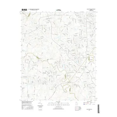
2017 Map of Kelleytown
USGS Topo · Published 2017About this map
Kelleytown serves as a central point in this transition from suburban development to the waterways and shoals of the Georgia Piedmont. The landscape is defined by its complex hydrography, notably where the South River and Big Cotton Indian Creek wind through the terrain. Evidence of the area's agricultural and communal past is preserved in numerous family and community burial grounds, such as Kelley Chapel Cem and the Hartfield and Everitt Cem. Early transportation networks are visible through landmarks like Sims Bridge and Oglesby Bridge, which cross the many creeks and branches. Notable water features like Monastery Lake and Peachstone Shoals on the South River highlight the region's diverse topographical character where DeKalb, Rockdale, Henry, and Newton counties meet.
Find a feature on this map
269 named features on this map. Tap any name to fly to it.
Don’t see what you’re looking for? This feature index may not catch every label — zoom into the map to look around manually.
Map Details
Editions of this 2017 Kelleytown Map
This is the sole edition of this map. No revisions or reprints were ever made.
Other maps of this area

1888 · Atlanta
USGS Topo · 1:125,000

1890 · Atlanta
USGS Topo · 1:125,000

1892 · Atlanta
USGS Topo · 1:125,000

1895 · Atlanta
USGS Topo · 1:125,000

1896 · Monroe
USGS Topo · 1:125,000

1953 · Atlanta
USGS Topo · 1:250,000

1953 · Athens
USGS Topo · 1:250,000

1956 · Conyers
USGS Topo · 1:24,000

1956 · Redan
USGS Topo · 1:24,000

1957 · Atlanta
USGS Topo · 1:250,000