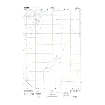
2010 Map of Kellner
USGS Topo · Published 2010About this map
Kellner anchors the northwest corner of this Wood County landscape, where the agricultural grid is defined by a dense network of numbered streets and drainage infrastructure. The terrain is dominated by a series of parallel watercourses flowing westward, including Fourmile Creek, Fivemile Creek, Sevenmile Creek, and the larger Tenmile Creek system. These natural streams are heavily supplemented by engineered waterways such as Lateral Number Two and Ditch Number Seven, reflecting a landscape managed for drainage and cultivation.
Find a feature on this map
43 named features on this map. Tap any name to fly to it.
Don’t see what you’re looking for? This feature index may not catch every label — zoom into the map to look around manually.
Map Details
Editions of this 2010 Kellner Map
This is the sole edition of this map. No revisions or reprints were ever made.
Other maps of this area

1955 · Green Bay
USGS Topo · 1:250,000

1957 · Wisconsin Rapids
USGS Topo · 1:48,000

1957 · Whiting
USGS Topo · 1:48,000

1958 · Arkdale
USGS Topo · 1:48,000

1958 · Coloma
USGS Topo · 1:48,000

1967 · Arkdale NE
USGS Topo · 1:24,000

1967 · Wisconsin Rapids
USGS Topo · 1:62,500

1968 · Coloma NW
USGS Topo · 1:24,000

1968 · Hancock
USGS Topo · 1:24,000

1970 · Kellner
USGS Topo · 1:24,000