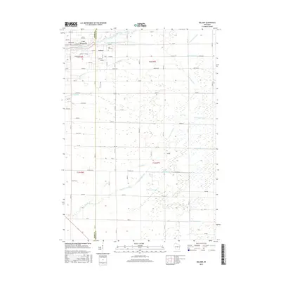
2015 Map of Kellner
USGS Topo · Published 2015About this map
Lake Wazeecha and the surrounding woodlands of central Wisconsin define this landscape near the Wood and Portage County line. The settlement of Kellner serves as a local anchor just east of the lake, while Saint Johns Cem provides a specific point of interest for genealogists tracing local families. The area is characterized by an extensive network of drainage infrastructure, which converted former marshlands into productive terrain.
Find a feature on this map
60 named features on this map. Tap any name to fly to it.
Don’t see what you’re looking for? This feature index may not catch every label — zoom into the map to look around manually.
Map Details
Editions of this 2015 Kellner Map
This is the sole edition of this map. No revisions or reprints were ever made.
Other maps of this area

1955 · Green Bay
USGS Topo · 1:250,000

1957 · Wisconsin Rapids
USGS Topo · 1:48,000

1957 · Whiting
USGS Topo · 1:48,000

1958 · Arkdale
USGS Topo · 1:48,000

1958 · Coloma
USGS Topo · 1:48,000

1967 · Arkdale NE
USGS Topo · 1:24,000

1967 · Wisconsin Rapids
USGS Topo · 1:62,500

1968 · Coloma NW
USGS Topo · 1:24,000

1968 · Hancock
USGS Topo · 1:24,000

1970 · Kellner
USGS Topo · 1:24,000