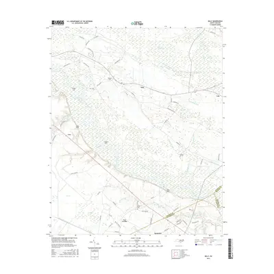
2016 Map of Kelly
USGS Topo · Published 2016About this map
The Cape Fear River snakes through this low-lying stretch of Bladen and Columbus counties, defining a landscape shaped by slow-moving water and local industry. To the north, the settlement of Kelly is surrounded by a complex system of wetland features, including Lyon-Swamp Canal, Colly Swamp, and several named Carolina bays such as Otter Slide Bay and Burnt Bay. This drainage network historically supported the timber and naval stores industries that were vital to the regional economy.
Find a feature on this map
76 named features on this map. Tap any name to fly to it.
Don’t see what you’re looking for? This feature index may not catch every label — zoom into the map to look around manually.
Map Details
Editions of this 2016 Kelly Map
This is the sole edition of this map. No revisions or reprints were ever made.
Other maps of this area

1953 · Florence
USGS Topo · 1:250,000

1954 · Florence
USGS Topo · 1:250,000

1954 · White Lake
USGS Topo · 1:62,500

1954 · Acme
USGS Topo · 1:62,500

1954 · Bolton
USGS Topo · 1:62,500

1955 · Atkinson
USGS Topo · 1:62,500
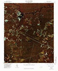
1980 · Acme
USGS Topo · 1:24,000
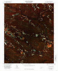
1980 · Point Caswell
USGS Topo · 1:24,000

1982 · Elizabethtown
USGS Topo · 1:100,000
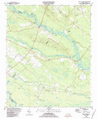
1983 · Point Caswell
USGS Topo · 1:24,000