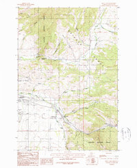
1987 Map of Kelly Creek
USGS Topo · Published 1987About this map
Gallatin National Forest dominates the terrain east of the Bozeman corp boundary in the late 1980s. The landscape is defined by the high elevations of the Bridger Range and Chestnut Mountain, which channel numerous drainages like Bridger Creek and Kelly Canyon Creek toward the valley floor. Human activity is concentrated along the transportation corridors, with residential and educational sites such as Mount Ellis Academy and the La Motte Sch situated near the intersection of mountain and valley.
Find a feature on this map
28 named features on this map. Tap any name to fly to it.
Don’t see what you’re looking for? This feature index may not catch every label — zoom into the map to look around manually.
Map Details
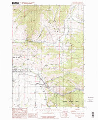
Editions of this 1987 Kelly Creek Map
2 editions found
Other maps of this area

1888 · Three Forks
USGS Topo · 1:250,000

1891 · Livingston
USGS Topo · 1:250,000

1893 · Livingston
USGS Topo · 1:250,000

1894 · Three Forks
USGS Topo · 1:250,000

1895 · Three Forks
USGS Topo · 1:250,000

1947 · Bozeman
USGS Topo · 1:250,000

1948 · Bozeman
USGS Topo · 1:250,000

1950 · Belgrade
USGS Topo · 1:62,500

1951 · Bozeman Pass
USGS Topo · 1:62,500

1951 · Sedan
USGS Topo · 1:62,500