
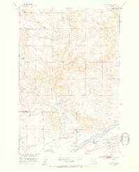
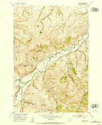
1951 Map of Kelly Hills
USGS Topo · Published 1953About this map
The Yellowstone River corridor defines the southern landscape of this 1951 survey, where the Northern Pacific railroad tracks parallel the water and a series of livestock operations. This ranching-heavy area in Sweet Grass County and Park County is marked by generational landholdings like the Old Kelly Homestead, Long Horn A Ranch, and the Carney Ranch. The importance of water management in this arid Montana environment is evident through the network of the Duck Creek drainage and various irrigation features, including a Canal and Ditch systems. Educational and community life in this era centered on the Duck Creek School and the Pioneer Memorial, while historical transit is noted at Sioux Crossing and segments of the old abandoned road winding through the Kelly Hills.
Find a feature on this map
40 named features on this map. Tap any name to fly to it.
Don’t see what you’re looking for? This feature index may not catch every label — zoom into the map to look around manually.
Map Details
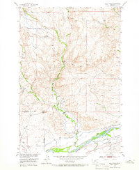
Editions of this 1951 Kelly Hills Map
3 editions found
Other maps of this area

1891 · Livingston
USGS Topo · 1:250,000

1893 · Livingston
USGS Topo · 1:250,000

1947 · Bozeman
USGS Topo · 1:250,000

1948 · Bozeman
USGS Topo · 1:250,000
1951 · Grosfield Ranch
USGS Topo · 1:24,000
1951 · Raspberry Butte
USGS Topo · 1:24,000

1951 · Springdale
USGS Topo · 1:24,000

1951 · Hunters Hot Springs
USGS Topo · 1:24,000

1951 · Elton
USGS Topo · 1:24,000
1951 · Mc Leod
USGS Topo · 1:24,000