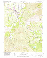
1959 Map of Kelseyville
USGS Topo · Published 1978About this map
Kelseyville sits at the foot of the Mayacmas Mountains, where the valley floor transitions into the volcanic heights of Buckingham Peak and Wright Peak. This 1959 survey, updated with 1975 revisions, documents the agricultural and civic layout of Big Valley before extensive modern development. The community is anchored by the High School and several nearby landmarks, including a Historical Marker along Kelsey Creek.
Find a feature on this map
45 named features on this map. Tap any name to fly to it.
Don’t see what you’re looking for? This feature index may not catch every label — zoom into the map to look around manually.
Map Details
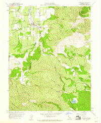
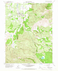
Editions of this 1959 Kelseyville Map
Other maps of this area

1921 · Kelseyville
USGS Topo · 1:62,500

1924 · Bartlett Springs
USGS Topo · 1:62,500

1938 · Lakeport
USGS Topo · 1:62,500

1942 · Bartlett Springs
USGS Topo · 1:62,500

1943 · Kelseyville
USGS Topo · 1:62,500

1944 · Bartlett Springs
USGS Topo · 1:62,500

1945 · Lower Lake
USGS Topo · 1:62,500

1947 · Santa Rosa
USGS Topo · 1:250,000

1949 · Santa Rosa
USGS Topo · 1:250,000

1951 · Lakeport
USGS Topo · 1:62,500