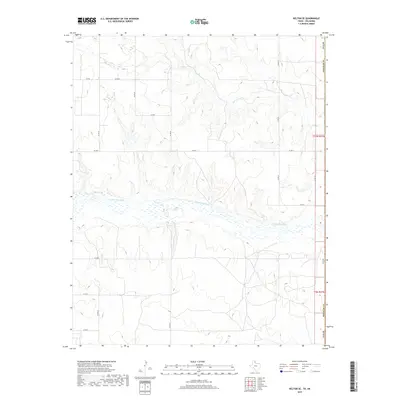
2019 Map of Kelton SE
USGS Topo · Published 2019About this map
The N Fork Red River creates a wide, braided channel across this landscape where the Texas and Oklahoma border meets. The terrain is defined by the drainage systems of Salt Cr and other tributaries feeding into the larger river valley, creating a series of ravines and rises across Beckham County. This area maintains a strong agricultural and rural character, with a systematic grid of county roads such as Co RD R, Co RD 24, and Co RD T providing access to the section lands.
Find a feature on this map
19 named features on this map. Tap any name to fly to it.
Don’t see what you’re looking for? This feature index may not catch every label — zoom into the map to look around manually.
Map Details
Editions of this 2019 Kelton SE Map
This is the sole edition of this map. No revisions or reprints were ever made.
Other maps of this area

1954 · Amarillo
USGS Topo · 1:250,000

1955 · Clinton
USGS Topo · 1:250,000

1957 · Clinton
USGS Topo · 1:250,000

1958 · Amarillo
USGS Topo · 1:250,000

1960 · Sweetwater
USGS Topo · 1:62,500

1961 · Erick
USGS Topo · 1:62,500

1962 · Twitty
USGS Topo · 1:24,000

1962 · Kelton SE
USGS Topo · 1:24,000

1963 · Kelton
USGS Topo · 1:24,000

1963 · Kelton NW
USGS Topo · 1:24,000