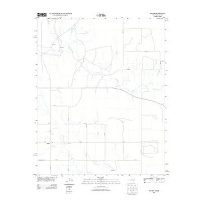
2012 Map of Kelton
USGS Topo · Published 2012About this map
Sweetwater Creek meanders eastward across this Panhandle landscape, defining the drainage patterns of Wheeler County just south of the Oklahoma border. The area is characterized by a sparse settlement pattern of large agricultural holdings and small community hubs, centered on the town of Kelton. Local heritage is anchored by sites like Rock Cemetery to the north and the Kelton Cemetery near the main settlement, providing valuable points of reference for genealogical research. The map documents a network of rural county roads, including County Road 25 and County Road P, which link isolated landmarks such as Wheeler Springs and family properties like Britt Ranch and Davis Ranch. These labels reveal the persistent ranching economy and the importance of localized water sources like Murtaugh Creek and Salt Creek in this arid region.
Find a feature on this map
27 named features on this map. Tap any name to fly to it.
Don’t see what you’re looking for? This feature index may not catch every label — zoom into the map to look around manually.
Map Details
Editions of this 2012 Kelton Map
This is the sole edition of this map. No revisions or reprints were ever made.
Other maps of this area

1954 · Amarillo
USGS Topo · 1:250,000

1955 · Clinton
USGS Topo · 1:250,000

1957 · Clinton
USGS Topo · 1:250,000

1958 · Amarillo
USGS Topo · 1:250,000

1960 · Sweetwater
USGS Topo · 1:62,500

1961 · Reydon
USGS Topo · 1:62,500

1962 · Twitty
USGS Topo · 1:24,000

1962 · Kelton SE
USGS Topo · 1:24,000

1963 · Allison
USGS Topo · 1:24,000

1963 · Kelton
USGS Topo · 1:24,000