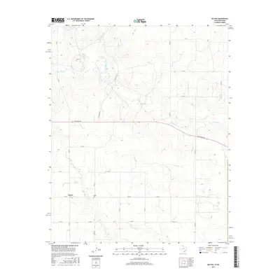
2016 Map of Kelton
USGS Topo · Published 2016About this map
Kelton stands as the primary settlement in this corner of Wheeler County, situated at the intersection of FM 2697 and FM 592. The landscape is defined by the winding course of Sweetwater Cr, which is fed by several tributaries including Murtaugh Cr, Williams Cr, and Salt Cr. These water sources historically anchored the ranching and agricultural operations of the Texas Panhandle. The map reveals the local social geography through long-standing landmarks such as Wheeler Springs and essential community burial grounds like Kelton Cem and Rock Cem. Transportation is dominated by a grid of county roads and regional routes like E Oklahoma Ave, reflecting the systematic land division of the area. This survey provides a clear view of the rural infrastructure and natural drainage patterns that have sustained this high plains community for generations.
Find a feature on this map
25 named features on this map. Tap any name to fly to it.
Don’t see what you’re looking for? This feature index may not catch every label — zoom into the map to look around manually.
Map Details
Editions of this 2016 Kelton Map
This is the sole edition of this map. No revisions or reprints were ever made.
Other maps of this area

1954 · Amarillo
USGS Topo · 1:250,000

1955 · Clinton
USGS Topo · 1:250,000

1957 · Clinton
USGS Topo · 1:250,000

1958 · Amarillo
USGS Topo · 1:250,000

1960 · Sweetwater
USGS Topo · 1:62,500

1961 · Reydon
USGS Topo · 1:62,500

1962 · Twitty
USGS Topo · 1:24,000

1962 · Kelton SE
USGS Topo · 1:24,000

1963 · Allison
USGS Topo · 1:24,000

1963 · Kelton
USGS Topo · 1:24,000