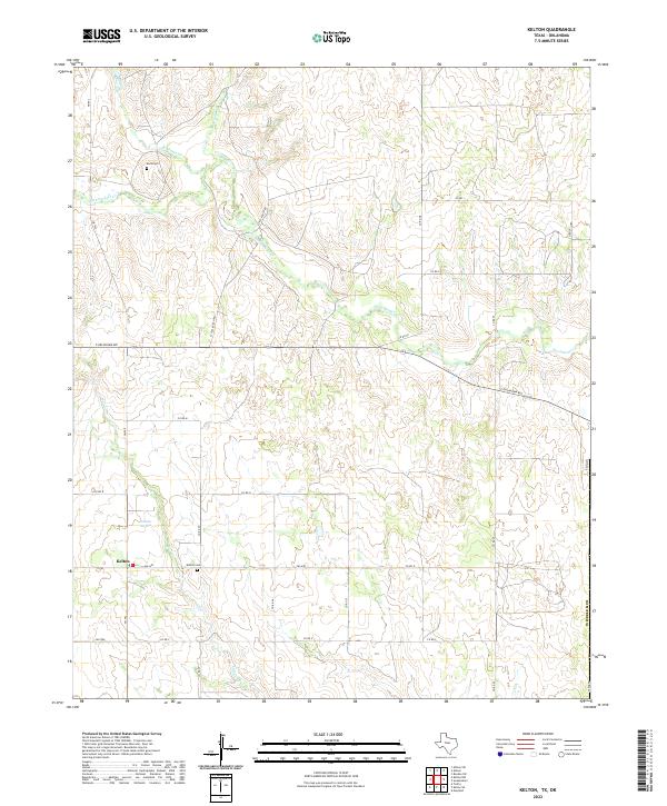
2022 Map of Kelton
USGS Topo · Published 2022About this map
Kelton sits in the southwest corner of this Wheeler County terrain, serving as a focal point for the surrounding ranching and agricultural landscape. The area is defined by a network of drainage systems, including the prominent Sweetwater Cr which winds through the center of the sheet, joined by smaller tributaries like Murtaugh Cr and Williams Cr. These watercourses have long dictated the placement of early roads and homesteads in this part of the Texas Panhandle.
Find a feature on this map
29 named features on this map. Tap any name to fly to it.
Don’t see what you’re looking for? This feature index may not catch every label — zoom into the map to look around manually.
Map Details
Editions of this 2022 Kelton Map
This is the sole edition of this map. No revisions or reprints were ever made.
Other maps of this area

1954 · Amarillo
USGS Topo · 1:250,000

1955 · Clinton
USGS Topo · 1:250,000

1957 · Clinton
USGS Topo · 1:250,000

1958 · Amarillo
USGS Topo · 1:250,000

1960 · Sweetwater
USGS Topo · 1:62,500

1961 · Reydon
USGS Topo · 1:62,500

1962 · Twitty
USGS Topo · 1:24,000

1962 · Kelton SE
USGS Topo · 1:24,000

1963 · Allison
USGS Topo · 1:24,000

1963 · Kelton
USGS Topo · 1:24,000