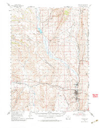
1954 Map of Kemmerer
USGS Topo · Published 1985About this map
Hams Fork winds through a landscape defined by its intersection of early western migration and industrial mineral extraction. The map documents a corridor of history along the Oregon Trail Cutoff, where quiet landmarks like the Nancy Hill Grave and Emigrant Graves remain as markers of the overland journey. Parallel to this human history lies the region's ancient past, noted at the Fossil Fish Quarries and Fossil Butte, which would later become world-renowned paleontological sites.
Find a feature on this map
62 named features on this map. Tap any name to fly to it.
Don’t see what you’re looking for? This feature index may not catch every label — zoom into the map to look around manually.
Map Details
Editions of this 1954 Kemmerer Map
2 editions found
Other maps of this area

1936 · Cokeville
USGS Topo · 1:96,000

1942 · Cokeville
USGS Topo · 1:125,000

1945 · Fort Hill
USGS Topo · 1:62,500

1947 · Fort Hill
USGS Topo · 1:62,500

1954 · Sage
USGS Topo · 1:62,500

1954 · Ogden
USGS Topo · 1:250,000

1954 · Kemmerer
USGS Topo · 1:62,500

1955 · Preston
USGS Topo · 1:250,000

1958 · Ogden
USGS Topo · 1:250,000

1958 · Preston
USGS Topo · 1:250,000