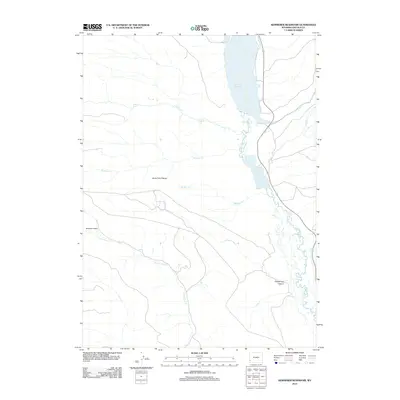
2012 Map of Kemmerer Reservoir
USGS Topo · Published 2012About this map
Lake Viva Naughton and the Kemmerer Reservoir dominate this high-altitude landscape in Lincoln County, where the Hams Fork river system feeds critical water storage. The topography is defined by the broad Hams Fork Plateau and the deeply incised Quakenasp Canyon to the southeast. Water management and drainage are the central themes here, with numerous tributaries such as Fish Cr, Robinson Cr, and Meadow Cr descending from the west into the primary valley. Small landmarks like Curtis Spring and geological catchments like Schuster Basin indicate a terrain where every water source is significant. The 2012 survey illustrates the infrastructure supporting these reservoirs, showing the roads and trails that navigate the high country between the plateau and the canyon floor.
Find a feature on this map
13 named features on this map. Tap any name to fly to it.
Don’t see what you’re looking for? This feature index may not catch every label — zoom into the map to look around manually.
Map Details
Editions of this 2012 Kemmerer Reservoir Map
This is the sole edition of this map. No revisions or reprints were ever made.
Other maps of this area

1936 · Cokeville
USGS Topo · 1:96,000

1942 · Cokeville
USGS Topo · 1:125,000

1954 · Sage
USGS Topo · 1:62,500

1954 · Ogden
USGS Topo · 1:250,000

1954 · Kemmerer
USGS Topo · 1:62,500

1955 · Preston
USGS Topo · 1:250,000

1958 · Ogden
USGS Topo · 1:250,000

1958 · Preston
USGS Topo · 1:250,000

1960 · Ogden
USGS Topo · 1:250,000

1962 · Preston
USGS Topo · 1:250,000