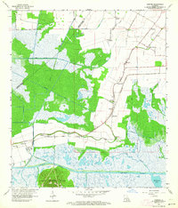
1963 Map of Kemper
USGS Topo · Published 1964About this map
Kilgore Plantation and the surrounding marshy lowlands of the Teche region define this landscape in the early 1960s. The Southern Pacific railroad corridor serves as the primary spine for settlement, connecting small communities like Kemper, Glencoe, and Four Corners. The map illustrates a transitional environment where agricultural lands meet the vast wetlands of the Louisiana coast, dominated by an intricate network of waterways such as Bayou Cypremort and the Intracoastal Waterway to the south.
Find a feature on this map
39 named features on this map. Tap any name to fly to it.
Don’t see what you’re looking for? This feature index may not catch every label — zoom into the map to look around manually.
Map Details
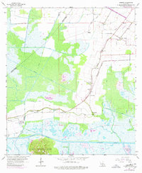
Editions of this 1963 Kemper Map
2 editions found
Other maps of this area

1937 · Bayou Sale
USGS Topo · 1:62,500

1937 · Jeanerette
USGS Topo · 1:62,500

1937 · Derouen
USGS Topo · 1:62,500

1945 · New Orleans
USGS Topo · 1:250,000

1949 · Cypremort Pt
USGS Topo · 1:31,680

1954 · Jeanerette
USGS Topo · 1:62,500

1957 · Bayou Sale
USGS Topo · 1:62,500

1963 · New Orleans
USGS Topo · 1:250,000
1963 · Weeks
USGS Topo · 1:24,000
1963 · Charenton
USGS Topo · 1:24,000