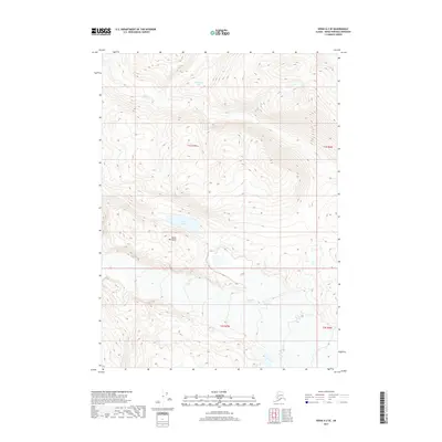
2017 Map of Kenai A-2 SE
USGS Topo · Published 2017About this map
Tustumena Glacier dominates the southern reaches of this landscape on the Kenai Peninsula, where the massive ice field meets the surrounding mountain terrain. This 2017 survey documents the relationship between the glacial terminus and the drainage systems of the interior, including the flow of Indian Cr through the northern valleys. High-altitude water bodies like Goldeneye Lake and Green Lake are situated among the steep contours, providing critical reference points in an area defined by significant topographic relief. The map illustrates the wilderness character of the region as it appeared in the early 21st century, showing no developed roads or permanent settlements within these specific township boundaries.
Find a feature on this map
9 named features on this map. Tap any name to fly to it.
Don’t see what you’re looking for? This feature index may not catch every label — zoom into the map to look around manually.
Map Details
Editions of this 2017 Kenai A-2 SE Map
This is the sole edition of this map. No revisions or reprints were ever made.
Other maps of this area

1944 · Kenai
USGS Topo · 1:250,000

1950 · Kenai
USGS Topo · 1:250,000

1950 · Seldovia D-2
USGS Topo · 1:63,360

1951 · Seldovia
USGS Topo · 1:250,000

1951 · Kenai A-2
USGS Topo · 1:63,360

1951 · Kenai A-1
USGS Topo · 1:63,360

1951 · Seldovia D-1
USGS Topo · 1:63,360

1952 · Kenai A-1
USGS Topo · 1:63,360

1952 · Kenai A-2
USGS Topo · 1:63,360

1953 · Seldovia D-2
USGS Topo · 1:63,360