
1951 Map of Kenai A-2
USGS Topo · Published 1963About this map
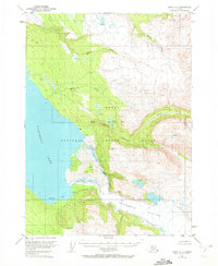
The Kenai Moose Range dominates this mid-century survey of the Kenai Peninsula, showcasing a landscape of high-altitude ice and deep glacial lakes. The massive Tustumena Glacier feeds into the eastern reaches of Tustumena Lake, while the Seward Base Line cuts through the center of the sheet near Lake Emma. This 1951 field study captures the area before significant modern development, where the only signs of human habitation are scattered Cabins and a lone Cabin along the lakeshore and creeks.
Find a feature on this map
16 named features on this map. Tap any name to fly to it.
Don’t see what you’re looking for? This feature index may not catch every label — zoom into the map to look around manually.
Map Details
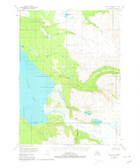
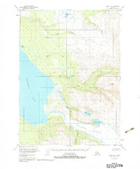
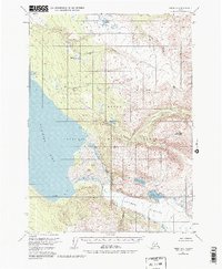
Editions of this 1951 Kenai A-2 Map
5 editions found
Other maps of this area

1944 · Kenai
USGS Topo · 1:250,000

1950 · Kenai
USGS Topo · 1:250,000

1950 · Kenai B-1
USGS Topo · 1:63,360

1950 · Seldovia D-2
USGS Topo · 1:63,360

1950 · Kenai B-3
USGS Topo · 1:63,360

1951 · Seldovia
USGS Topo · 1:250,000

1951 · Seldovia D-3
USGS Topo · 1:63,360

1951 · Kenai B-2
USGS Topo · 1:63,360

1951 · Kenai A-3
USGS Topo · 1:63,360

1951 · Kenai A-1
USGS Topo · 1:63,360