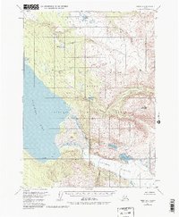
1951 Map of Kenai A-2
USGS Topo · Published 1983About this map
The Kenai Moose Range dominates this mid-century survey of the Kenai Peninsula, where high glacial ice meets a complex system of drainage and freshwater lakes. The massive Tustumena Glacier flows into the southeastern corner of the map, serving as the source for the waters that feed Tustumena Lake and Devils Bay. The northern portion of the quadrangle is defined by the headwaters of the Funny River and numerous high-elevation bodies of water like Timberline Lake and Wolverine Lake.
Find a feature on this map
21 named features on this map. Tap any name to fly to it.
Don’t see what you’re looking for? This feature index may not catch every label — zoom into the map to look around manually.
Map Details
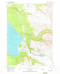
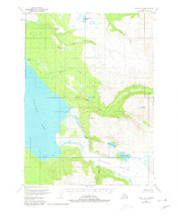
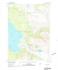
Editions of this 1951 Kenai A-2 Map
5 editions found
Other maps of this area

1944 · Kenai
USGS Topo · 1:250,000

1950 · Kenai
USGS Topo · 1:250,000

1950 · Kenai B-1
USGS Topo · 1:63,360

1950 · Seldovia D-2
USGS Topo · 1:63,360

1950 · Kenai B-3
USGS Topo · 1:63,360

1951 · Seldovia
USGS Topo · 1:250,000

1951 · Seldovia D-3
USGS Topo · 1:63,360

1951 · Kenai B-2
USGS Topo · 1:63,360

1951 · Kenai A-3
USGS Topo · 1:63,360

1951 · Kenai A-2
USGS Topo · 1:63,360