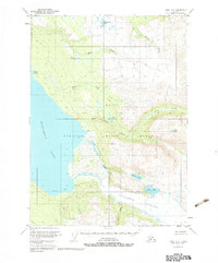
1951 Map of Kenai A-2
USGS Topo · Published 1983About this map
The Kenai Moose Range dominates this mid-century portrait of the Alaskan wilderness, showcasing the intricate glacial hydrology of the Kenai Peninsula before modern development. The massive expanse of the Tustumena Glacier feeds into several drainage systems, most notably the towering ice field that marks the southeast corner of the sheet. To the west, the deep waters of Tustumena Lake meet the land at Devils Bay, a coastline defined by the alluvial deposits of Crystal Creek and Clear Creek. Isolated Cabin sites along the Seward Meridian suggest the sparse human footprint of early 1950s trappers or rangers. The map captures a transition from high alpine features like Crater Lake to the meandering lowlands of the Funny River, providing a clear look at the undeveloped terrain as it existed when these townships were first being predetermined by the Bureau of Land Management.
Find a feature on this map
24 named features on this map. Tap any name to fly to it.
Don’t see what you’re looking for? This feature index may not catch every label — zoom into the map to look around manually.
Map Details
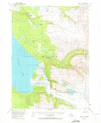
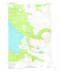
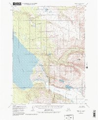
Editions of this 1951 Kenai A-2 Map
5 editions found
Other maps of this area

1944 · Kenai
USGS Topo · 1:250,000

1950 · Kenai
USGS Topo · 1:250,000

1950 · Kenai B-1
USGS Topo · 1:63,360

1950 · Seldovia D-2
USGS Topo · 1:63,360

1950 · Kenai B-3
USGS Topo · 1:63,360

1951 · Seldovia
USGS Topo · 1:250,000

1951 · Seldovia D-3
USGS Topo · 1:63,360

1951 · Kenai B-2
USGS Topo · 1:63,360

1951 · Kenai A-3
USGS Topo · 1:63,360

1951 · Kenai A-2
USGS Topo · 1:63,360