
1951 Map of Kenai A-3
USGS Topo · Published 1962About this map
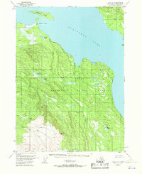
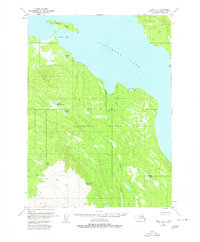
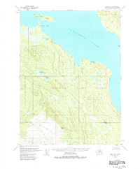
The Kenai National Moose Range dominates this mid-century landscape on the Kenai Peninsula, showcasing a vast interior wilderness before significant modern development. The map is defined by the massive reach of Tustumena Lake to the north, where Caribou Island sits near the entrance to Nikolai Bay. The terrain transitions from these glacial waters into a complex network of wetlands and drainage basins, including the headwaters of Crooked Creek and North Fork Deep Creek. Isolated Cabins scattered along the shoreline of Big Bay and various creek banks represent the only human structures in an area primarily used for subsistence and wildlife management. The inclusion of the Seward Base Line and the VABM Nikolai Creek survey marker highlights the early efforts by the U.S. Geological Survey and USCE to systematically map this Alaskan frontier using 1950s aerial photography.
Find a feature on this map
16 named features on this map. Tap any name to fly to it.
Don’t see what you’re looking for? This feature index may not catch every label — zoom into the map to look around manually.
Map Details
Editions of this 1951 Kenai A-3 Map
4 editions found
Other maps of this area

1944 · Kenai
USGS Topo · 1:250,000

1949 · Seldovia D-4
USGS Topo · 1:63,360

1950 · Kenai
USGS Topo · 1:250,000

1950 · Seldovia D-2
USGS Topo · 1:63,360

1950 · Kenai B-3
USGS Topo · 1:63,360

1951 · Seldovia D-4
USGS Topo · 1:63,360

1951 · Seldovia
USGS Topo · 1:250,000

1951 · Seldovia D-3
USGS Topo · 1:63,360

1951 · Kenai B-2
USGS Topo · 1:63,360

1951 · Kenai A-2
USGS Topo · 1:63,360